By Devry Becker Jones (CC0), June 12, 2022
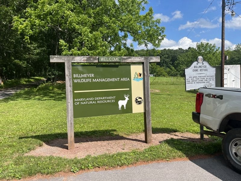
Billmeyer Game Refuge Marker
GEOGRAPHIC SORT Title Sort Marker Number Sort Marker Number Sort N Marker Number Sort T Publication Order Sort Publication Order Sort A Erected Year Sort Most Viewed Sort Most Recent-Interest Sort Most Recently Changed Sort SEE FAQ #33 FOR DESCRIPTIONS
On Mountain Road, 0.3 miles south of National Pike Northeast (Scenic U.S. 40), on the right when traveling east.
On Braddock Road (Maryland Route 49) at Greene Street (U.S. 220), on the left when traveling west on Braddock Road.
On National Highway (Alternate U.S. 40), on the right when traveling north.
On North Centre Street at Market Street, on the right when traveling west on North Centre Street.
On Evitts Creek Drive Southeast south of East Industrial Highway (Maryland Route 51), on the right when traveling south.
On Washington Street at Prospect Square, on the left when traveling west on Washington Street.
On U.S. 220, on the right when traveling north.
On Historic National Road (Maryland Route 144) 0.2 miles east of Murley's Branch Road, on the right when traveling east.
On Mountain Road, 0.2 miles south of National Pike Northeast (Scenic U.S. 40), on the right when traveling north.
On New Georges Creek Road (Maryland Route 36) at Hoffman Hollow Road, on the right when traveling north on New Georges Creek Road.
On National Highway SW (U.S. 40), on the left when traveling west.
On National Highway (Alternate U.S. 40) west of Mary Court, on the left when traveling west.
On Ritchie Highway (Maryland Route 450) at Chase Road, on the left when traveling south on Ritchie Highway.
On 6th Street, 0.2 miles south of Compromise Street, on the right when traveling south.
Paid Advertisement
On Defense Highway (Maryland Route 450) 0.6 miles west of Housley Road, on the right when traveling west.
On Solomons Island Road (Maryland Route 2) 0.2 miles south of Sommerville Road, on the right when traveling north.
On Old Davidsonville Road (Maryland Route 424) 0.5 miles south of John Hanson Highway (U.S. 50), on the right when traveling south.
On Dorsey Road (State Road 176) 0.1 miles west of Arundel Mills Blvd / New Ridge Road (State Road 713), on the right when traveling west.
On Solomon’s Island Road (Maryland Route 2) 1 mile north of Harwood Road, on the right when traveling north.
On Camp Meade Road (Maryland Route 170) at Maple Road, on the right when traveling south on Camp Meade Road.
On Greenock Road (Maryland Route 259) at Southern Maryland Boulevard (Maryland Route 4), on the right when traveling north on Greenock Road.
On Odenton Road at Morgan Road, on the right when traveling east on Odenton Road.
On Mountain Road (Maryland Route 177/648) 0.1 miles east of Freetown Road, on the right when traveling west.
On WB&A Road at Donaldson Avenue (Maryland Route 174), on the right when traveling north on WB&A Road.
On Governor Stone Parkway at Benfield Boulevard, on the right when traveling north on Governor Stone Parkway.
On Ritchie Highway (Maryland Route 2) 0.2 miles south of Jones Station Road, on the right when traveling south.
On Solomon’s Island Road (Maryland Route 2) at Brick Church Road, on the right on Solomon’s Island Road.
On South River Clubhouse Road, 0.8 miles east of Solomon’s Island Road (Maryland Route 2), on the right when traveling east.
On Holabird Avenue at Dundalk Avenue, on the left when traveling west on Holabird Avenue.
On Charles Street (Maryland Route 139) at Greenway, on the right when traveling south on Charles Street.
Paid Advertisement
On East Pratt Street at President Street, on the left when traveling east on East Pratt Street.
On Fort Avenue at Towson Street, on the right when traveling east on Fort Avenue.
On Parkside Drive at Boehms Lane on Parkside Drive.
On East Randall Street at Riverside Avenue, on the right when traveling east on East Randall Street.
On Eislen Street at Camden Street on Eislen Street.
Near Howard Street south of West Camden Street, on the right when traveling south.
On Waterview Avenue, 0 miles west of Annapolis Road (Maryland Route 648), on the right when traveling east.
On Pleasantville Road at Fork Road / Baldwin Mill Road, on the right on Pleasantville Road.
On Bloomsbury Avenue south of Bloomingdale Avenue, on the left when traveling north.
On Frederick Road at North Beaumont Avenue, on the left when traveling east on Frederick Road.
On Dundalk Ave., 0.2 miles north of Dunhaven Road, on the right when traveling north.
On Maryland Route 158 at North Point Blvd (MD151) on State Route 158.
On Fork Road at Brinton Road, on the left when traveling west on Fork Road.
Paid Advertisement
On Belair Road (U.S. 1) 0.1 miles Mt. Vista Road, on the right.
On Dulaney Valley Road at Ravenshurst Circle, on the right when traveling south on Dulaney Valley Road.
On Dulaney Valley Road, 0.2 miles north of Surrey Road, on the right.
On Gwynnbrook Road, 0.1 miles west of Owings Mills Blvd., on the left.
On York Road (Maryland Route 45) north of Stablers Church Road, on the right when traveling north.
On Upland Road at Cliveden Road on Upland Road.
On Cockey’s Mill Road at Reisterstown Road (Route 140), on the left on Cockey’s Mill Road.
On S. Rolling Road, 0.1 miles south of Francis Avenue, on the right when traveling south.
On York Road (Maryland Route 45) 0.1 miles north of Upper Glencoe Road, on the left.
On Western Run Road at Tanyard Road, on the right when traveling west on Western Run Road.
On Philadelphia Road (Maryland Route 7) 0.1 miles north of Allender Road, on the left when traveling north.
On Cove Point Road (Maryland Route 497) 3.4 miles east of Solomons Island Road (Route 2 / 4) when traveling east.
On Dares Beach Road (Maryland Route 402) 1.2 miles east of Maryland 2/4, on the left when traveling east.
On Dares Beach Road (Maryland Route 402) east of Solomons Island Road (Maryland Route 2), on the right when traveling east.
Paid Advertisement
On Jefferson Patterson Park Road.
On Jefferson Patterson Park Road.
On Jefferson Patterson Park Road.
On Jefferson Patterson Park Road.
On Solomons Island Road (Maryland Route 2) at Pushaw Station Road, on the right when traveling north on Solomons Island Road.
On East Central Avenue (Maryland Route 306), on the left when traveling west.
On Lineboro Road (Maryland Route 86) south of Full Moon Drive, on the right when traveling south.
On Henryton Road, 1 mile west of Heneryton Hospital Road, on the right when traveling east. Reported missing.
On Henryton Road at Henryton Center Road a.k.a.Henryton Hospital Road on Henryton Road.
On Maryland Route 31 near Maryland Route 140.
On Grove Neck Road at Hazelmoor Drive, on the right when traveling west on Grove Neck Road.
On East Main Street, on the right when traveling east.
On Blue Ball Road, 2 miles north of Maryland Route 279, on the right when traveling north.
On Main Street, 0.2 miles west of River Road, on the left when traveling west.
On Principio Furnace Road (Maryland Route 7) 0.2 miles east of Jackson Station Road, on the right when traveling east.
On Main Street (Maryland Route 222) at Center Street (Maryland Route 276), on the right when traveling north on Main Street.
Paid Advertisement
On Bainbridge Road (Maryland Route 222) just east of Lebrun Road, on the right when traveling west.
On Prince Frederick Road (Maryland Route 231) at Teague's Point Road, on the right when traveling west on Prince Frederick Road.
On Crain Highway (US 301).
On Rock Point Road (Maryland Route 257) just east of Morgantown Road, on the right when traveling east.
On Port Tobacco Road (County Route 6) at Port Tobacco Road & Howard Drive on Port Tobacco Road.
On Race Street (Maryland Route 341) at Pennsylvania Avenue, on the right when traveling north on Race Street.
On Taylors Island Road (Maryland Route 16) 1.1 miles west of Smithville Road, on the right when traveling west.
Near Catoctin Mountain Highway (U.S. 15).
On Urbana Pike (Maryland Route 355), on the right when traveling south.
On Fry Road, 1.3 miles east of Point of Rocks Road (Maryland Route 464), on the right when traveling north.
On Catoctin Furnace Road (Maryland Route 806) 0.1 miles north of Catoctin Hollow Road, on the left when traveling north.
Near Catoctin Furnace Road (Maryland Route 806) 0.1 miles north of Catoctin Hollow Road, on the left when traveling north.
Near Catoctin Furnace Road (Maryland Route 806) 0.2 miles north of Catoctin Hollow Road, on the left when traveling north.
Near Catoctin Furnace Road (Maryland Route 806) just south of Catoctin Hollow Road, on the right when traveling south.
On National Pike (U.S. 40) 0.8 miles east of the Pennsylvania state line, on the right when traveling west.
Paid Advertisement
On Main Street (Alternate U.S. 40) east of Dorsey Hotel Road, on the right when traveling west.
On Main Street (Alternate U.S. 40) east of Dorsey Hotel Road, on the right when traveling west.
On Maple Glade Road east of Tolliver Camp Road, on the right when traveling north.
On Maryland Highway (Maryland Route 135) east of Shady Acre Lane, on the right when traveling east.
On East Alder Street just east of South 3rd Street (U.S. 219), on the right when traveling east.
113 entries matched your criteria. The first 100 are listed above.
The final 13 ⊳