By Duane and Tracy Marsteller, March 10, 2024
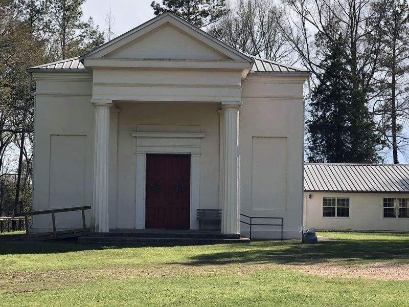
Kingston Methodist Church Marker
| Near Hutchins Landing Road, 0.2 miles east of Hillside Plantation Road, on the right when traveling east. |
| Near Duncan Avenue west of Duncan Park Road, on the left when traveling west. |
| On Main Street, 0.1 miles west of Orange Avenue, on the right when traveling west. |
| On Main Street at South Canal Street, on the left when traveling west on Main Street. |
| On Myrtle Avenue west of Elm Street, on the right when traveling west. |
| On North Pearl Street at High Street, on the right when traveling north on North Pearl Street. |
| Near Homochitto Street at Winchester Road, on the right when traveling south. |
| Near John R Junkin Drive (Business U.S. 61) 0.5 miles south of Lower Woodville Road, on the right when traveling south. |
| On Orleans Street at South Rankin Street, on the right when traveling east on Orleans Street. |
| On North Union Street north of B Street, on the left when traveling north. |
| On South Rankin Street at Washington Street, on the left when traveling south on South Rankin Street. |
| On High Street at North Rankin Street, on the right when traveling east on High Street. |
| On North Wall Street at High Street, on the left when traveling south on North Wall Street. |
| On Main Street at Canal Street, on the left when traveling north on Main Street. |
| On Franklin Street at North Pearl Street, on the left when traveling east on Franklin Street. |
| On South BroadwayStreet near Washington Street, on the right when traveling south. |
| On Washington Street at South Wall Street, on the right when traveling west on Washington Street. |
| On State Street east of South Union Street, on the left when traveling east. |
| On North Union Street at B Street, on the right when traveling north on North Union Street. |
| Near Gloucester Court, 0.4 miles west of Lower Woodville Road when traveling west. |
| Near John A Quitman Boulevard west of Melrose Avenue, on the left when traveling west. |
| On Main Street, 0.1 miles west of Orange Avenue, on the left when traveling west. |
| On South Pearl Street at Orleans Street, on the left when traveling north on South Pearl Street. |
| On South Union Street near Ravenna Lane, on the left when traveling west. |
| Near Winchester Road, 0.2 miles east of Homochitto Street, on the left when traveling east. |
| On St. Catherine Street near McCabe Street, on the right when traveling west. |
| On Washington Street at South Wall Street, on the right when traveling west on Washington Street. |
| On North Union Street, 0.1 miles north of B Street, on the left when traveling north. |
| On State Street at Pearl Street, on the left when traveling east on State Street. |
| On South Rankin Street at Orleans Street, on the left when traveling south on South Rankin Street. |
| On South Pearl Street north of Main Street, on the right when traveling north. |
| On Homochitto Street at Elizabeth Lane, on the right when traveling north on Homochitto Street. |
| Near South Canal Street north of John R Junkin Drive (Business U.S. 61), on the right when traveling north. |
| On Main Street, 0.1 miles west of Orange Avenue, on the left when traveling west. |
| On Old N Street at Court Street, on the left when traveling east on Old N Street. |
| On Polk Street at East Linden Street, on the right when traveling north on Polk Street. |
| On Taylor Street at Cruise Street, on the right when traveling north on Taylor Street. |
| On East 4th Street east of North Fillmore Street, on the left when traveling east. |
| On Perry Road north of Ewell Road, on the left when traveling north. |
| On Main Street (State Highway 1) north of Vorhees Street, on the right when traveling north. |
| On South Starkville Road north of East Harrington Street, on the right when traveling north. |
| On State Highway 552 at Russum Westside Road, on the left when traveling south on State Highway 552. |
| On State Highway 552 at Canemount Plantation, on the right when traveling north on State Highway 552. |
| Near Grand Gulf Road at River Road. |
| On ASU Drive east of Alcorn Avenue, on the right when traveling east. |
| On ASU Drive east of Alcorn Avenue, on the right when traveling east. |
| On Walnut Street at Farmer Street, on the right when traveling east on Walnut Street. |
| On Walnut Street west of College Street, on the right when traveling west. |
| On Market Street at Orange Street, on the right when traveling south on Market Street. |
| On Carrol Street east of Main Street, on the right when traveling east. |
| On Market Street south of Fair Street, on the left when traveling south. |
| Near Church Street (U.S. 61) near Horton Drive, on the right when traveling north. |
| On Church Street (U.S. 61) south of Coffee Street, on the right when traveling south. |
| On Church Street (U.S. 61) at Walnut Street, on the right when traveling south on Church Street. |
| On Church Street (U.S. 61) at Walnut Street on Church Street. |
| On Church Street (U.S. 61) at Walnut Street, on the right when traveling north on Church Street. |
| On Church Street (U.S. 61) at Fair Street, on the right when traveling south on Church Street. |
| On Church Street (U.S. 61) north of Carroll Street, on the right when traveling north. |
| On College Street south of Oak Street, on the left when traveling south. |
| On Church Street north of Jackson Street, on the right when traveling north. |
| On Church Street (U.S. 61) north of Coffee Street, on the right when traveling north. |
| On Idlewild Drive west of Church Street (U.S. 61), on the left when traveling west. |
| On Church Street (U.S. 61) south of Chinquepin Street, on the right when traveling south. |
| On Jackson Street at Farmer Street, on the left when traveling west on Jackson Street. |
| On Church Street (U.S. 61) south of China Street, on the right when traveling south. |
| On Church Street (U.S. 61) north of Fair Street, on the right when traveling north. |
| On McComb Avenue (Mississippi Route 547) at Burlington Place, on the right when traveling south on McComb Avenue. |
| On Church Street (U.S. 61) at Jackson Street, on the right when traveling north on Church Street. |
| On Church Strery (U.S. 61) north of Oak Street, on the right when traveling north. |
| On Farmer Street south of Jackson Street, on the right when traveling south. |
| On Church Street (U.S. 61) north of Chinquepin Street, on the right when traveling north. |
| On Main /Market Street north of Orange Street, on the right when traveling north. |
| On Market Street south of Walnut Street, on the right when traveling south. |
| On Church Street (U.S. 61) north of China Street, on the right when traveling north. |
| On College Street north of China Street, on the right when traveling north. |
| On Church Street (Highway 61) at Walnut Street, on the right when traveling north on Church Street. |
| On Church Street (U.S. 61) south of Oak Street, on the right when traveling south. |
| On Church Street (U.S. 61) at Carroll Street, on the right when traveling south on Church Street. |
| On Church Street (U.S. 61) north of Orange Street, on the right when traveling north. |
| On Church Street (U.S. 61) at Carroll Street, on the right when traveling south on Church Street. |
| On Church Street (U.S. 61) near Horton Street. |
| Near Rodney Road (State Highway 552) 1.3 miles north of Rodney Westside Road, on the right when traveling north. |
| On State Highway 45, on the right when traveling north. |
| On Delta Avenue at 1st Street, on the right when traveling north on Delta Avenue. |
| On Eigth Street north of Cemetery Street, on the right when traveling north. |
| On North Beach Boulevard north of Boardman Avenue, on the left when traveling north. |
| On South Beach Boulevard at Main Street, on the right when traveling south on South Beach Boulevard. |
| On South Beach Boulevard south of Citizen Street. |
| On South Beach Boulevard south of Brown Road. |
| On North Beach Boulevard, 0.2 miles south of Whispering Pines Drive, on the right when traveling south. |
| On Beach Boulevard (U.S. 90) at Bellman Street, on the right when traveling west on Beach Boulevard. |
| On Cadet Street at East 1st Street on Cadet Street. |
| On Beach Boulevard (U.S. 90) at Bellman Street, on the right when traveling west on Beach Boulevard. |
| On Beach Boulevard (U.S. 90) at Caldwell Avenue, on the right when traveling west on Beach Boulevard. |
| On Beach Boulevard (U.S. 90) at Main Street, on the right when traveling west on Beach Boulevard. |
| On Beach Boulevard (U.S. 90) at Bellman Street, on the right when traveling west on Beach Boulevard. |
| On Friendship Oak Circle north of Avenue of the Oaks. |
| On West Second Street east of Church Avenue, on the left when traveling east. |
| On East Scenic Drive, 0.1 miles west of Davis Avenue, on the right when traveling west. |
| On East Scenic Drive at St Paul Avenue, on the right when traveling west on East Scenic Drive. |
278 entries matched your criteria. The first 100 are listed above.
Next 100 ⊳