By Cosmos Mariner, July 23, 2018
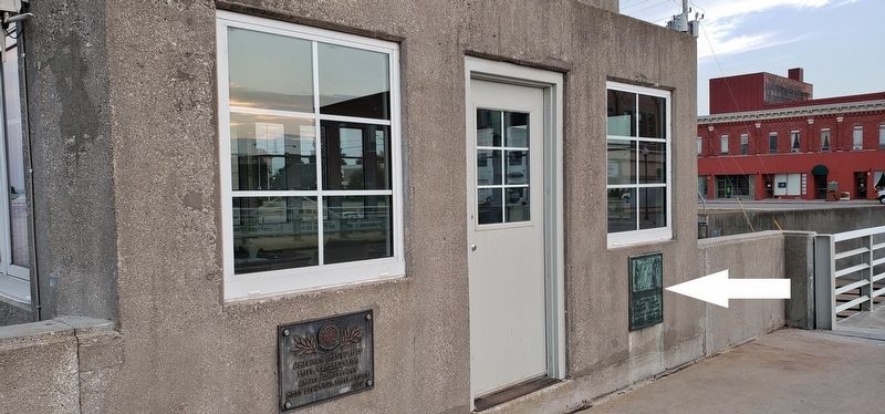
Treaty of Saginaw Marker (wide view; this marker on right; AISC Bridge Award plaque on left)
| On North 2nd Avenue north of Water Street, on the right when traveling north. |
| On Water Street south of North 1st Avenue, on the right when traveling south. |
| Near North 1st Avenue north of Water Street when traveling north. Reported permanently removed. |
| On Ford Avenue at Wessel Road, on the right when traveling east on Ford Avenue. |
| On East Fletcher Street south of North 2nd Avenue, on the right when traveling south. |
| On East Fletcher Street south of North 2nd Avenue, on the right when traveling south. |
| On East Fletcher Street near Ford Avenue, on the right when traveling south. |
| On East Fletcher Street south of North 2nd Avenue, on the right when traveling south. |
| On East Fletcher Street south of North 2nd Avenue, on the right when traveling south. |
| On East Fletcher Street at Ford Avenue, on the right when traveling south on East Fletcher Street. |
| On East Fletcher Street at Ford Avenue, on the right when traveling east on East Fletcher Street. |
| On Alpena Bi-Path near Water Street and North 2nd Avenue, on the left when traveling south. |
| Near North 1st Avenue north of Water Street. |
| On Alpena Bi-Path just north of the end of North 1st Avenue, on the right when traveling east. |
| On South 2nd Avenue (Michigan Route 32) near Lockwood Street, on the right when traveling east. |
| On Alpena Bi-Path (Michigan Route 32) west of South 11th Avenue and West Campbell Street, on the right when traveling west. |
| On Leer Road at Carr Road, on the right when traveling south on Leer Road. |
| On U.S. 23 at E. Nicholson Hill Road, on the left when traveling north on U.S. 23. |
| On Coy Street, on the left when traveling north. |
| On Coy Street when traveling north. |
| On East Cayuga Street (Michigan Route 88) east of North Bridge Street (Route 88), on the left when traveling east. |
| On U.S. 31, 0.2 miles north of 1st Street, on the right when traveling north. |
| On Ames Street north of Bass and Ojibwa Streets, on the right when traveling north. |
| On Traverse Street at Pine Street, on the left when traveling west on Traverse Street. |
| On U.S. 31, 0.2 miles north of 1st Street, on the right when traveling north. |
| On River Street at Pine Street, on the right when traveling west on River Street. |
| On River Street at Spruce Street, on the left when traveling west on River Street. |
| On Essex Road at South Dennis Road, on the right when traveling east on Essex Road. |
| On U.S. 131 at Satherly Lake Road, on the left when traveling north on U.S. 131. |
| On Saint Johns Road at Michigan Route 32, on the left when traveling south on Saint Johns Road. |
| On Center Road (U.S. 23) at North George Street, on the right when traveling east on Center Road. |
| On Center Road (U.S. 23) near South Clyde Street, on the right when traveling west. |
| On North Grove Street at East Beaver Street, on the right when traveling north on North Grove Street. |
| Near North Main Street (U.S. 23) north of West Cedar Street, on the right when traveling south. |
| On State Street (State Highway 65) at 206 Park Street, on the right when traveling north on State Street. |
| Near U.S. 41, 0.1 miles north of Plains Cut-off Road. |
| On North Broadway, on the right when traveling south. |
| On North Broadway (Michigan Route 43) at West Thorn Street, on the right when traveling south on North Broadway. |
| On Hastings Riverwalk, on the right when traveling south. |
| On Hastings Riverwalk north of North Broadway (Michigan Route 43), on the right when traveling north. |
| On South Broadway Street at West Walnut Street on South Broadway Street. |
| On West State Street just east of South Broadway Street (State Highway 37), on the right when traveling east. |
| On East State Street at North Michigan Avenue, on the right when traveling west on East State Street. |
| On Hastings Riverwalk west of North Broadway (Michigan Route 43), on the right when traveling north. |
| On South Broadway Street, on the left when traveling north. |
| On West State Street just west of South Church Street, on the left when traveling west. |
| On South Church Street, on the right when traveling north. |
| On West Court Street at South Church Street, on the right when traveling east on West Court Street. |
| On West Grand Street at South Broadway Street, on the right when traveling east on West Grand Street. |
| On East Woodlawn Avenue, on the right when traveling east. |
| On Cedar Creek Road at West Brogan Road, on the right when traveling south on Cedar Creek Road. |
| Near South Charlton Park Road. |
| On Nashville Road near McKeown Road, on the right when traveling north. |
| On Jefferson Street at Green Street, on the right when traveling south on Jefferson Street. |
| On Hastings Riverwalk, on the right when traveling south. |
| Near West Apple Street, on the right when traveling east. |
| On Jefferson Street at Green Street, on the right when traveling north on Jefferson Street. |
| On Hastings Riverwalk near North Broadway (Michigan Route 43), on the right when traveling south. |
| On North Church Street, on the left when traveling north. |
| On Hastings Riverwalk west of North Broadway (Michigan Route 43), on the right when traveling north. |
| On South M-43 Highway (State Highway 43) near Bendere Road, on the right when traveling east. |
| On Parmalee Road near Riverside Lane. |
| On Ellis Street at Park Street, on the right when traveling north on Ellis Street. |
| On West Main Street near Lem Paul Street, on the right when traveling west. |
| On River Street near Railroad Street, on the right when traveling north. |
| On Sheridan Street at Fremont Street, on the right when traveling north on Sheridan Street. |
| On Old Mill Road, 0.2 miles south of Bowens Mill Road. |
| On Main Street (State Highway 79) at West Francis Street, on the right when traveling south on Main Street. |
| On Main Street (State Highway 66) north of Maple Street, on the right when traveling north. |
| On Main Street (State Highway 66) 0.1 miles north of Washington Street, on the right when traveling south. |
| On South Main Street at Railroad Street when traveling north on South Main Street. |
| On Main Street (State Highway 66) near Maple Street, on the right when traveling north. |
| On Scott Road (Michigan Route 79) near Barryville Road, on the right when traveling west. |
| Near South Yankee Springs Road, 0.2 miles north of Duffy Road. |
| On East Broadway Street (Michigan Route 43) at South State Street, on the right when traveling east on East Broadway Street. |
| On 11 Mile Road at West North Union Road, on the left when traveling north on 11 Mile Road. |
| On Washington Avenue (State Highway 84) north of 10th Street, on the right when traveling south. |
| On Center Avenue (State Highway 25) at North Jackson Street, on the right when traveling east on Center Avenue. |
| On Center Avenue west of North Madison Avenue, on the right when traveling west. |
| On John F. Kennedy Drive near McKinley Street, on the right when traveling north. |
| On South River Road (State Highway 13) 3.5 miles north of Interstate 75, on the left when traveling north. |
| On Center Avenue (State Highway 25) at North Madison Avenue (State Highway 25), on the right when traveling east on Center Avenue. |
| On Center Avenue (Michigan Route 25) at Livingston Street, on the right when traveling west on Center Avenue. |
| On Center Avenue (State Highway 25) at North Grant Street, on the right when traveling east on Center Avenue. |
| Near Adams Street at 4th Street, on the right when traveling north. |
| On Center Avenue (State Highway 25) at North Jackson Street, on the right when traveling west on Center Avenue. |
| On Center Avenue (State Highway 25) at Livingston Street, on the right when traveling west on Center Avenue. |
| On Westside Saginaw Road (State Highway 84) at Ziegler Road, on the right when traveling north on Westside Saginaw Road. |
| On North Monroe Street north of Center Avenue (State Highway 25), on the right when traveling north. |
| On Center Avenue at North Jefferson Street, on the right when traveling west on Center Avenue. |
| On South River Road (State Highway 13) 0.8 miles south of McGraw Street, on the right when traveling south. |
| On Washington Avenue north of 7th Street (State Highway 25), on the left when traveling north. |
| On East Midland Street at Litchfield Street, on the left when traveling east on East Midland Street. |
| On Center Avenue at Saginaw Street, on the right when traveling east on Center Avenue. |
5131 entries matched your criteria. Entries 101 through 200 are listed above.
⊲ Previous 100 —
Next 100 ⊳