By Barry Swackhamer, May 18, 2018
"Our Road Was Very Steep..." Marker
| Near East Lake Forest Drive near South Kelton Place, on the right when traveling west. |
| On N Capitol Boulevard north of W Bannock Street, in the median. |
| On Grove Street near South Capitol Boulevard, on the right when traveling east. |
| On Interstate 84 at milepost 62,, 1 mile west of Black's Creek Road, on the right when traveling west. |
| On Warm Springs Avenue (at milepost 7), 0.1 miles Highland Valley Road, on the left when traveling north. |
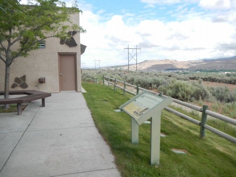
| On State Highway 21 at East Lake Forest Drive, on the right when traveling east on State Highway 21. |
| On Grove Street near South 6th Street, on the right when traveling east. |
| On State Highway 21 at East Lake Forest Drive, on the right when traveling east on State Highway 21. |
| On State Highway 21 at East Lake Forest Drive, on the right when traveling east on State Highway 21. |
| On West Main Street, 0.1 miles east of South 2nd Street, on the right when traveling east. |
| On West Main Street, 0.1 miles east of South 2nd Street, on the right when traveling east. |
| On State Highway 21 at milepost 17,, 0.2 miles south of Arrowrock Road, on the right when traveling north. |
| Near East Lake Forest Drive near Orchid Way, on the right when traveling west. |
| Near North Eagle Road (State Highway 55) at U.S. 26, on the left when traveling north. |
| On Interstate 84, 1 mile north of Black's Creek Road, on the right when traveling south. |
| On West Jefferson Street at North 6th Street, on the right when traveling west on West Jefferson Street. |
| On Black Creek Road near Songbird Lane, on the left when traveling west. |
| Near State Highway 21 near East Sandy Point Road, on the right when traveling east. |
| Near S. Upper Blacks Creek Road, 1.3 miles north of E. Blacks Creek Road. |
| On West Fort Street south of North 5th Street, on the right when traveling west. |
| On Warm Springs Avenue (at milepost 7), 0.1 miles south of Highland Valley Road, on the left when traveling north. |
| Near S. Upper Blacks Creek Road, 1.3 miles north of E. Blacks Creek Road. |
| On South Capitol Boulevard at West Myrtle Street, on the right when traveling south on South Capitol Boulevard. |
| On West Main Street, 0.1 miles east of South 2nd Street, on the right when traveling east. |
| On East Warm Springs Avenue at North Straughan Avenue, on the right when traveling west on East Warm Springs Avenue. |
| Near East Lake Forest Drive near Orchid Way, on the left when traveling west. |
| Near East Lake Forest Drive near Orchid Way, on the right when traveling east. |
| On State Highway 55 at milepost 153,, 0.5 miles west of Woodland Road, on the right when traveling east. |
| On Henderson Road at High Street, on the left when traveling south on Henderson Road. |
| On State Highway 91, on the right when traveling north. |
| On East Center Street near 1st West Street, on the right when traveling west. |
| On Center Street near 7th Street, on the left when traveling south. |
| On Avenue of the Chiefs near South 5th Avenue. |
| Near Avenue of the Chiefs near South 5th Avenue. |
| On South 5th Avenue at South 4th Avenue (U.S. 30), on the left when traveling north on South 5th Avenue. |
| On National Park Highway/Oregon Trail (U.S. 89), on the right when traveling south. |
| On U.S. 89 near Fish Haven Canyon Road, on the right when traveling south. |
| On Main Street (U.S. 30) near Stringtown Road, on the right when traveling north. |
| On West 3rd Street near U.S. 30, on the right when traveling west. |
| On West 3rd Street near U.S. 30, on the left when traveling west. |
| On State Highway 36 at Church Street, on the left when traveling south on State Highway 36. |
| On Washington Street (U.S. 89) near South 10th Street, on the left when traveling west. |
| On U.S. 30 at milepost 441.7 near Hunters Lane, on the right when traveling west. |
| On U.S. 30 at milepost 441.7 near Hunters Lane, on the right when traveling west. |
| On U.S. 30 at milepost 441.7 near Hunters Lane, on the right when traveling west. |
| On Washington Street (U.S. 89) near South 9th Street, on the left when traveling west. |
| On U.S. 30 at milepost 441.7 near Hunters Lane, on the right when traveling west. |
| On U.S. 30 at milepost 441.7, on the right when traveling west. |
| On U.S. 30 at milepost 441.7 near Hunters Lane, on the right when traveling west. |
| On U.S. 30 at milepost 441.7 near Hunters Lane, on the right when traveling west. |
| On Washington Street (U.S. 89) near 5th Street, on the right when traveling east. |
| On U.S. 30 at milepost 441.7 near Hunters Lane, on the right when traveling west. |
| On U.S. 30 at milepost 454.5 near Walter Lane, on the right when traveling west. |
| On Ovid Road (Highway 89) at State Highway 36, in the median on Ovid Road. |
| On Ovid Road (U.S. 89) at State Highway 36, in the median on Ovid Road. Reported damaged. |
| On South Main Street (U.S. 89) near East 1st South Street, on the right when traveling south. |
| On South Main Street (U.S. 89) at East 1st South Street, on the right when traveling south on South Main Street. |
| On South Main Street (U.S. 89) near East 1st South Street, on the right when traveling south. |
| On South Main Street (U.S. 89) near East 2nd South Street, on the left when traveling south. |
| On North Main Street (U.S. 89) near Center Street, on the right when traveling south. |
| On North Main Street (U.S. 89) near 100 North Street, on the right when traveling south. |
| On Chatcolet Road, 6.5 miles east of U.S. 95, on the right when traveling west. |
| On State Highway 5, 0.1 miles west of North 23rd Street, on the right when traveling west. |
| On State Highway 5, 0.1 miles west of North 23rd Street, on the right when traveling west. |
| On Main Avenue at North Sixth Street (State Highway 5) on Main Avenue. |
| On 675 East Street near 825 North, on the left when traveling north. |
| On Ross Fort (Simplot) Road near Interstate 15, on the left when traveling west. |
| On Russell Street at Cedar Street, on the left when traveling south on Russell Street. |
| On West 175 North (Center Street) near North 725 West, on the right when traveling west. |
| Near Such Milton Avenue near East Pine Street. |
| On U.S. 26, on the right when traveling west. |
| On State Highway 75 at milepost 152 near Forest Road 409, on the right when traveling south. |
| Near Sun Valley Road near East Avenue, on the left when traveling north. |
| On State Highway 75 at milepost 167 at Beaver Creek Road (Forest Road 204), on the right when traveling south on State Highway 75. |
| On State Highway 75 at milepost 164 near Forest Road 0777A, on the left when traveling south. |
| On State Highway 21 at milepost 95,, 1.4 miles north of Grandjean Road, on the right when traveling north. |
| On State Highway 55 at milepost 64, just south of West Boise Street, on the left when traveling south. |
| On State Highway 21 at milepost 28 at Grimes Creek Road, on the left when traveling north on State Highway 21. |
| On State Highway 21 at milepost 72,, 0.2 miles east of Banks Lowman Road, on the right when traveling north. |
| On Wellington Place, 0.1 miles north of School Street, on the right when traveling south. |
| On Wellington Place, 0.1 miles north of School Street, on the right when traveling south. |
| On Hope Peninsula Road at 200, on the right when traveling south on Hope Peninsula Road. |
| Near U.S. 2, 3 miles east of Le Clerc Road, on the right when traveling east. |
| On North Fifth Avenue (U.S. 2) near Larch Street, on the right when traveling north. |
| On Central Avenue at Molen Street, on the right when traveling south on Central Avenue. |
| On South 1st East at West 127th South, on the right when traveling south on South 1st East. |
| On Riverside Drive at Memorial Drive, on the right when traveling south on Riverside Drive. |
| On Idaho Falls Greenbelt Trail, 0.5 miles north of West Broadway Street, on the right when traveling north. |
| On Idaho Falls Greenbelt Trail, 0.1 miles north of Memorial Drive, on the left when traveling north. |
| On Memorial Drive at Riverside Drive, on the left when traveling north on Memorial Drive. |
| On North Main Street/Old U.S. 30 at Rockwood Avenue on North Main Street/Old U.S. 30. |
| On North 105 East near U.S. 26. |
| Near North 5th East (Lewisville Highway) near East 113 North, on the right when traveling south. |
| Near Main Street near Riverside Street, on the right when traveling north. |
| On Chinook Street at U.S. 95, on the right when traveling east on Chinook Street. |
| On U.S. 20/26 west of Portland Avenue, on the left when traveling west. |
| On 3150 North near Main Street (3350 West), on the right when traveling south. |
| On U.S. 30, 0 miles east of West Plymouth Road, on the right when traveling east. |
347 entries matched your criteria. The first 100 are listed above.
Next 100 ⊳