By McGhiever, June 10, 2016
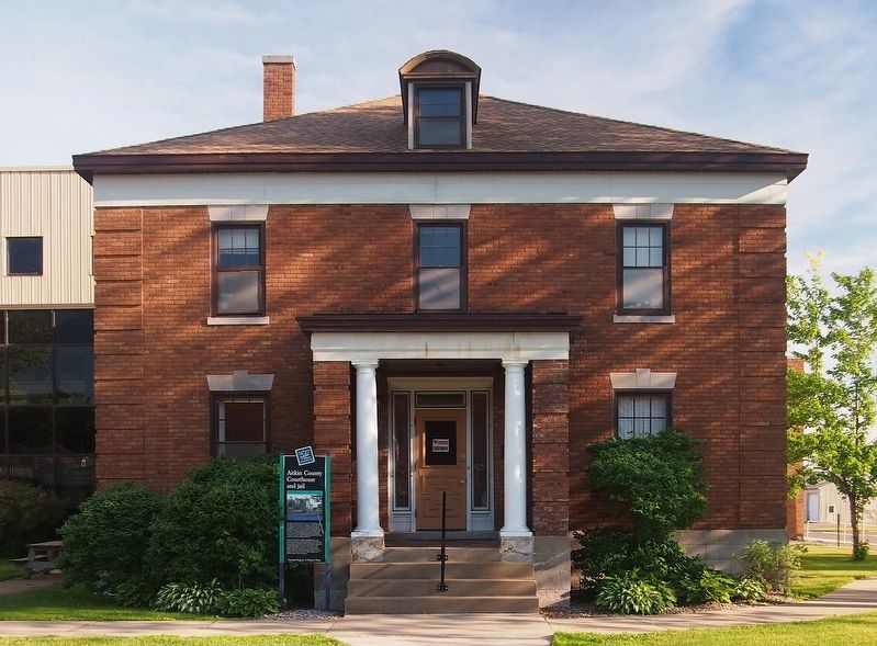
Aitkin County Courthouse and Jail Marker
| On 2nd St NW, on the right when traveling east. |
| On Mandy Lake Access at 363rd Lane, on the left when traveling west on Mandy Lake Access. |
| Near State Highway 65, 0.6 miles 224th Place, on the right when traveling north. |
| Near 531st Lane east of Highway 65, on the right when traveling north. |
| On State Highway 65, on the right when traveling north. |
| On Minnesota Route 65, 0.2 miles south of 528th Lane, on the right when traveling north. |
| Near South Ferry Road, 0.3 miles east of South Ferry Street. |
| Near 2nd Avenue west of Rivers Pointe Court. |
| Near River Avenue, 0.1 miles west of 1st Avenue. |
| On U.S. 10, 0.8 miles east of Cleveland Street, on the right when traveling east. |
| On Rum River Blvd NW at Bridge St NW (County Road 24), on the right when traveling north on Rum River Blvd NW. |
| Near County Highway 11, 1.5 miles south of U.S. 10, on the left when traveling south. |
| On Frontage Road (U.S. 10) 0.1 miles south of North Shore Drive, on the right when traveling south. |
| On County Road 29, 1 mile south of County Road 26, on the left when traveling south. |
| Near County Route 17 near U.S. 59. |
| On County Route 143, 0.7 miles west of Egg Lake Trail. |
| Near 370th Street, on the left when traveling east. |
| Near State Highway 72, 2 miles south of County Road 77, on the left when traveling north. |
| Near State Highway 72, on the left when traveling north. |
| Near Waskish Road NE (County Road 40) west of State Route 72. |
| On 1st Street North just south of 3rd Avenue North, on the right when traveling north. |
| On St Marys Avenue (Minnesota Route 28 at milepost 22), 0.9 miles west of U.S. 75, on the right when traveling west. |
| On County Route 28 at Bloomington Ave. N, on the right when traveling east on County Route 28. |
| On State Highway 68 at 227th Lane, on the right when traveling east on State Highway 68. |
| On East Robinson Street east of North Main Street (County Highway 76), on the right when traveling east. |
| On Civic Center Plaza (Hickory Street) west of South 2nd Street, on the right when traveling west. |
| On South Broad Street at Warren Street on South Broad Street. |
| Near Mound Avenue west of Spence Street. |
| Near Mound Avenue west of Spence Street. |
| On Center Street (County Road 32) at Second Street on Center Street. |
| On 1st Street at Main Street (County Road 11) on 1st Street. |
| On County Road 11 at County Road 29, on the left when traveling north on County Road 11. |
| On Knudsen Street (County Road 31) south of Hanson Street (County Road 7), on the left when traveling south. |
| On County Road 257, 0.4 miles east of 155th Avenue, on the left when traveling east. |
| On Broadway (State Highway 257) at 2nd Street East on Broadway. |
| On County Road 257, 0.4 miles east of 155th Avenue, on the left when traveling east. |
| Near County Road 11, 1.1 miles north of County Road 6, on the left when traveling north. |
| On Broadway (State Highway 257) north of Blessum Street (State Highway 257), on the right when traveling south. |
| Near County Road 11, 1.1 miles north of County Road 6, on the left when traveling north. |
| On County Road 24, 0.5 miles east of County Road 8, on the left when traveling east. |
| On County Road 24, 0.1 miles east of County Road 8, on the right when traveling east. |
| On County Road 24, 0.9 miles west of County Road 8, on the right when traveling west. |
| On Cottonwood Street, 0.2 miles west of South Broadway Street (Minnesota Highway 15 / 68), on the right when traveling west. |
| Near North Minnesota Street south of 3rd North Street, on the left when traveling south. |
| On South State Street south of Center Street, on the right when traveling south. |
| On North Minnesota Street south of 3rd North Street, on the right when traveling south. |
| Near Highway 26 west of Summit Avenue when traveling west. |
| On Pfaender Drive, 0.2 miles north of 5th North Street (County Highway 27), on the right when traveling north. |
| On County Highway 25 west of 140th Avenue, on the right when traveling west. |
| On South Front Street at 2nd South Street, on the right when traveling north on South Front Street. |
| On North German Street at North 2nd Street, on the right when traveling north on North German Street. |
| On Broadway (State Highway 15 / 68) at Center Street on Broadway. |
| On County Road 21, 0.3 miles west of 661st Avenue, on the left when traveling west. |
| On 2nd North Street at North Broadway on 2nd North Street. |
| On Schell's Road, 0.1 miles south of 18th Street South, on the left when traveling south. |
| On North Broadway (State Highway 15/68) north of 1st North Street, on the right when traveling north. |
| On 3rd North Street at North German Street on 3rd North Street. |
| On North Broadway (State Highway 15 / 68) south of 1st North Street, on the right when traveling south. |
| On South State Street south of Center Street, on the right when traveling south. |
| On 17th Street South east of South Franklin Street, on the left when traveling west. |
| Near Monument Street north of Center Street (County Road 13), on the right when traveling north. |
| On Main Street at Broadway Street (County Road 24), on the right when traveling west on Main Street. |
| On State Highway 4, 0.3 miles north of 295th Street, on the left when traveling north. |
| On 260th Avenue at 190th Street on 260th Avenue. |
| On County Road 24 at 370th Avenue, on the left when traveling east on County Road 24. |
| On East End Avenue (County Highway 5) at East Rock Street (U.S. 14) on East End Avenue. |
| Near State Highway 210, 3.9 miles east of State Highway 45, on the right when traveling east. |
| On State Highway 73 at Automba Road (County Road 6 & 131), on the right when traveling north on State Highway 73. |
| On North Walnut Street south of East 4th Street, on the right when traveling south. |
| On North Chestnut Street (State Highway 41) at Hundertmark Road, on the left when traveling north on North Chestnut Street. |
| On 1st St NW at County Highway 25, on the right when traveling east on 1st St NW. |
| Near Grimm Road west of Victoria Drive (County Route 11), on the right when traveling west. |
| Near Mill Avenue Northeast, 0.1 miles north of Carter Street Northeast, on the left when traveling north. |
| On Lewis Avenue North just north of Territorial Street West, on the right when traveling north. |
| On Mill Avenue Northeast just north of Carter Street Northeast, on the left when traveling north. |
| On Lewis Avenue North, 0.1 miles north of Territorial Street West, on the right when traveling north. |
| On Mill Street at Barclay Avenue, on the left when traveling south on Mill Street. |
| On Minnesota Avenue West (State Highway 200/371) at 3rd Street, on the right when traveling east on Minnesota Avenue West. |
| On Minnesota Avenue West (State Highway 200/371) at 3rd Street, on the right when traveling east on Minnesota Avenue West. |
| On Minnesota Avenue West (State Highway 200/371) at 3rd Street, on the right when traveling east on Minnesota Avenue West. |
| On Minnesota Avenue West (State Highway 200/371) at 3rd Street, on the right when traveling east on Minnesota Avenue West. |
| On Minnesota Avenue West (State Highway 200/371) at 3rd Street, on the right when traveling east on Minnesota Avenue West. |
| Near 140th Avenue Northwest (County Road 32) near 1st Street West (County Road 13). |
| Near 140th Avenue Northwest (County Road 32) near 1st Street West (County Road 13). |
| Near 140th Avenue Northwest (County Road 32) near 1st Street West (County Road 13). |
| Near 140th Avenue Northwest (County Road 32) 0.1 miles north of 1st Street West (County Road 13), on the right when traveling north. |
| On Park Trail (County Route 12) at Maple Lane, on the right when traveling north on Park Trail. |
| On U.S. 8 at Linden Street, on the right when traveling west on U.S. 8. |
| On South Street at Traprock Street, on the left when traveling south on South Street. |
| On West Government Street, 0.1 miles south of First Street, on the right when traveling west. |
| On County Highway 36, on the left when traveling west. |
| On Interstate 94 at milepost 1 at 20th Street, on the right when traveling east on Interstate 94. |
| On 4th Street S. close to U.S. 10, on the right when traveling west. |
| On 4th Street South just north of Main Avenue (U.S. 10), on the right when traveling north. |
| On 8th Street (U.S. 75), on the right when traveling north. |
459 entries matched your criteria. The first 100 are listed above.
Next 100 ⊳