By Brandon D Cross, January 18, 2020
The Last Battles of The War of 1812 Marker
| Near Bartlett Street at St Marys Street West, on the left when traveling north. |
| On Bartlett Street at St. Marys Street west, on the left when traveling north on Bartlett Street. |
| Near Bartlett Street at St Marys Street West, on the left when traveling north. |
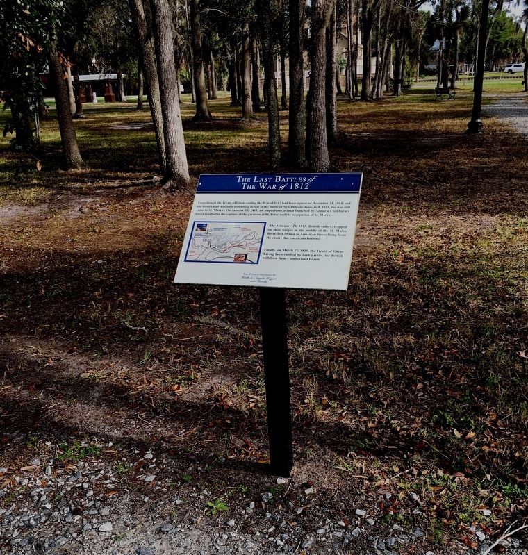
| On West McIntosh Circle (Georgia Route 5) 2 miles south of Georgia Route 5, on the right when traveling east. |
| On Georgia Route 121, on the left when traveling south on State Route 121. |
| Near Fort Jackson Road (Woodcock Street), 1.3 miles north of East President Street. |
| On East Bay Street south of Rossiter Place, on the left when traveling east. |
| On Abercorn Street, on the right when traveling north. |
| On Bay St at Drayton St, on the right when traveling north on Bay St. |
| On Bull Street, on the left when traveling south. |
| On Eufaula Street (Georgia Route 39) 0.6 miles north of Coleman Road (Georgia Route 266), on the right when traveling north. |
| On Eufaula Street (Georgia Route 39) 0.6 miles north of Coleman Road (Georgia Route 266), on the right when traveling north. |
| On Hood Avenue at Moreland Avenue (U.S. 23), on the right when traveling east on Hood Avenue. |
| Near West Atlanta Street SE, 0.2 miles north of Cemetery Street SE. |
| Near East Court Square (U.S. 29) at North Court Square, on the left when traveling north. |
| On South Court Square at West Court Square, on the left when traveling south on South Court Square. |
| On Old Albany Road (Georgia Route 300) 0.9 miles west of U.S. 280, on the left when traveling west. |
| On Lakeshore Drive west of Lakeshore Way, on the right when traveling west. |
| On Georgia-Florida Parkway (Georgia Route 300) near Lakeshore Drive, on the right when traveling south. Reported missing. |
| On U.S. 11 near Georgia Route 299, on the right when traveling north. |
| On Oak Street / Golden Isles Highway (U.S. 23) 0 miles west of 12th Avenue, on the right when traveling west. |
| On Highway 92 (Georgia Route 92) at New Hope Road, on the right when traveling north on Highway 92. |
| On Riverside Parkway at Riverside Industrial Park, NE, on the left when traveling north on Riverside Parkway. |
| On Veterans Memorial Boulevard (Georgia Route 9) south of Main Street (Georgia Route 20), on the right when traveling south. |
| On South Main Street (Georgia Route 9) at Jones Avenue, on the right when traveling north on South Main Street. |
| On the Atlanta Waterworks pumping station access road, 0.3 miles west of Ridgewood Road NW, on the right when traveling west. |
| On Ridgeview Road at Ridgeview Circle, on the right when traveling north on Ridgeview Road. |
| On Newtown Church Road, 0.1 miles north of Newtown Creek Road, on the left when traveling north. |
| On Braselton Highway (Georgia Route 124) at Dennis Drive, on the right when traveling north on Braselton Highway. |
| On Georgia Route 49 at Georgia Route 18, on the right when traveling south on State Route 49. Reported missing. |
| On Georgia Route 41, 0 miles north of Fort Perry Road (County Route 49), on the right when traveling north. |
| On West Main Street (State Highway 15) at Highway Avenue, on the right when traveling west on West Main Street. |
| On Golden Isles Parkway (U.S. 341) at Airport Road, on the right when traveling east on Golden Isles Parkway. |
| On North Broad Street just south of West Washington Street, on the right when traveling south. |
| On Golden Isles Highway (U.S. 23) 0.1 miles south of Georgia Route 96, on the left when traveling south. |
| On Spring Street just south of East Lake Avenue, on the left when traveling south. |
| On Lafayette Road (Georgia Route 201) at Gordon Springs Road, on the right when traveling south on Lafayette Road. |
| On Snake River Avenue, 0.4 miles south of U.S. 12, on the right when traveling south. |
| On U.S. 95, 3 miles south of Old Spiral Highway, on the right when traveling south. |
| On Hampshire Street at North 5th Street, on the right when traveling east on Hampshire Street. |
| On Bunch Road west of Illinois Route 3, on the right when traveling south. |
| Near Museum Avenue, 0.6 miles east of Illinois Route 127. |
| Near Museum Avenue, 0.6 miles east of Illinois Route 127. |
| Near College Avenue at 3rd Street (Illinois Route 127), on the left when traveling west. |
| On Highway 24 (U.S. 24) west of County Road 1250 E (County Route 1250), on the left when traveling west. |
| On East Lincoln Highway Road, on the left when traveling east. |
| Near East Lincoln Highway Road west of County Road 1300E. |
| On Calumet Ave at 18th Street, on the right on Calumet Ave. |
| On East Wacker Drive at North Michigan Avenue on East Wacker Drive. |
| On North Michigan Avenue at East Wacker Drive, on the right when traveling south on North Michigan Avenue. |
| On East Wacker Drive near North Michigan Avenue. |
| On North River Road, on the right when traveling south. |
| On East Lamotte Street at South Leaverton Street, on the right when traveling east on East Lamotte Street. |
| On East Comanche Avenue (Illinois Route 30) at Indian Road, on the right when traveling east on East Comanche Avenue. |
| On Geneva Road at Main Street, on the right when traveling east on Geneva Road. |
| On 5th Street (U.S. 67) just north of South Main Street, on the left when traveling north. |
| On Fort Edwards Street west of North 3rd Street, on the right when traveling west. |
| Near Boyce Memorial Drive near Ottawa Avenue. |
| Near Springfield Road north of Illinois Route 159. Reported missing. |
| On South Main Street (Illinois Route 159) south of West Schwartz Street, on the right when traveling south. |
| On South Main Street (Illinois Route 159) south of West Schwartz Street, on the right when traveling south. |
| Near Godfrey Road (U.S. 67) south of Pearl Street. |
| On North Randolph Street south of East University Drive, on the right when traveling south. |
| On North Randolph Street north of East Carroll Street, on the left when traveling north. |
| On North Randolph Street north of East Carroll Street, on the left when traveling north. |
| On North 3100 East Road south of County Route 850N, on the right when traveling south. |
| On Bluff Road, 0.4 miles north of Valmeyer Road, on the right when traveling north. |
| On East Locust Street at Memorial Drive, on the left when traveling east on East Locust Street. |
| On Bluff Road (County Road 3) 0.1 miles north of Fults Road, on the right when traveling north. |
| On Park Road west of Shawneetown Trail (County Route 3), on the right when traveling east. |
| On Island Avenue at State Street, on the right when traveling south on Island Avenue. |
| Near 46th Avenue (Illinois Route 3) 0.2 miles east of 15th Street, on the right when traveling east. |
| Near South Feazel Street just north of Bauman Lane, on the right when traveling north. |
| On East Adams Street west of Sixth Street, on the left when traveling west. |
| On East Lake Shore Drive north of Zoo Trail, on the left when traveling north. |
| On East Main Street at South Washington Street, on the left when traveling west on East Main Street. |
| On South Chicago Avenue (Illinois Route 1) at Dale Avenue, on the right when traveling north on South Chicago Avenue. |
| On North Main Street south of West Jefferson Street, on the right when traveling north. |
| On Court Street at South 3rd Street, on the right when traveling west on Court Street. |
| On East Main Street at Clay Street, on the right when traveling west on East Main Street. |
| On East Main Street at Clay Street, on the right when traveling west on East Main Street. |
| On Wayne Trace at New Haven Avenue, on the left when traveling south on Wayne Trace. |
| On South Clinton Street (U.S. 27) south of East 4th Street, on the left when traveling south. |
| On Tennessee Avenue at Griswold Drive, on the right when traveling west on Tennessee Avenue. |
| On West Wayne Street just east of Ewing Street, on the left when traveling east. |
| On Lindsey Street, on the right when traveling south. |
| On W. Hawthorne Street at S. 2nd Street, on the left when traveling west on W. Hawthorne Street. |
| On South 800 West at West 550 South on South 800 West. |
| On East Main Street west of SE 2nd Street, on the left when traveling west. |
| Near Pacific Street west of N. Elkhart Avenue. |
| On West 4th Street at Market Street, on the left when traveling east on West 4th Street. |
| On West 500 North, 0.1 miles west of Peconga Drive, on the right when traveling west. |
| On County Road 308 West, on the left when traveling north. |
| On State Road 15 at County Road 600 N on State Road 15. Reported permanently removed. |
| Near County Road 308W, 0.7 miles south of County Road W600N, on the right when traveling south. |
2560 entries matched your criteria. Entries 201 through 300 are listed above.
⊲ Previous 100 —
Next 100 ⊳