By Tom Bosse, March 4, 2017
"The Coal Creek War" Marker
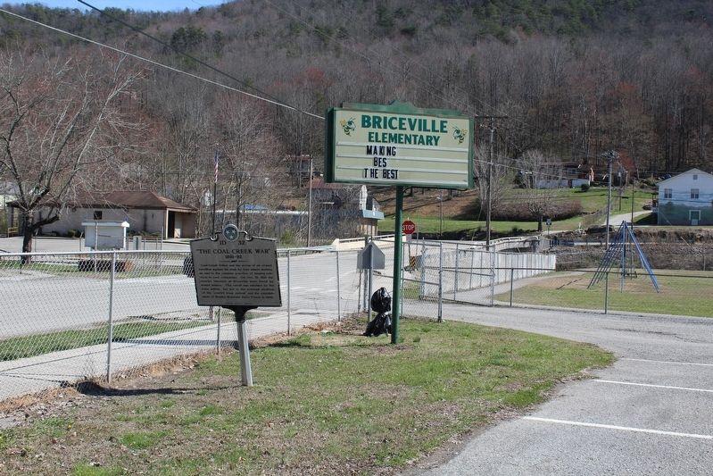
| On Slatestone Road, on the left when traveling north. |
| On Briceville Highway (Tennessee Route 116), on the right when traveling south. |
| On Briceville Highway (Tennessee Route 116), on the right when traveling south. |
| On Slatestone Road, on the left when traveling north. |
| On Briceville Highway (Tennessee Route 116) at ircle Cemetery Road, on the left when traveling south on Briceville Highway. |
| On Slatestone Road, on the left when traveling north. |
| On Edgemoor Road (Tennessee Route 170) 0.1 miles east of Lakeview Circle, on the right when traveling east. |
| On Market Place, on the right when traveling east. |
| On Edgemoor Road (Tennessee Route 170) at New Henderson Road, on the right when traveling east on Edgemoor Road. |
| On Market Street at North Main Street, on the right when traveling east on Market Street. |
| On Market Street, on the right when traveling east. |
| On North Main Street (U.S. 25W) at Market Street, on the left when traveling north on North Main Street. |
| On Market Place, on the right when traveling east. |
| On Edgemoor Road (Tennessee Route 170) 4 miles east of Lakeview Circle, on the right when traveling east. |
| On Market Street, on the right when traveling east. |
| On Briceville Highway (Tennessee Route 116) at Andy's Ridge Road, on the left when traveling north on Briceville Highway. |
| On Briceville Highway (Tennessee Route 116) near Andy's Ridge Road, on the left when traveling north. |
| On Briceville Highway (Tennessee Route 116) at Andy's Ridge Road, on the left when traveling north on Briceville Highway. |
| Near Norris Freeway (Tennessee Route 441), on the left when traveling north. |
| Near Norris Freeway (Tennessee Route 441), on the left when traveling south. |
| On Oak Ridge Turnpike (Tennessee Route 95) at South Tulane Avenue, on the right when traveling east on Oak Ridge Turnpike. |
| On Oak Ridge Turnpike (Tennessee Route 95) at South Tulane Avenue, on the right when traveling east on Oak Ridge Turnpike. |
| On Oak Ridge Turnpike (Tennessee Route 95) at South Tulane Avenue, on the right when traveling east on Oak Ridge Turnpike. |
| On Oak Ridge Turnpike (Tennessee Route 95) at South Tulane Avenue, on the right when traveling east on Oak Ridge Turnpike. |
| On Kentucky Avenue at Broadway Avenue, on the left when traveling north on Kentucky Avenue. |
| On Vowell Mountain Lane, on the left when traveling north. |
| On Vowell Mountain Lane, on the left when traveling north. |
| On Vowell Mountain Lane, on the left when traveling north. |
| On Vowell Mountain Lane, on the left when traveling north. |
| On Beech Grove Road at Vowell Mountain Lane, on the left when traveling north on Beech Grove Road. |
| On Beech Grove Road at Vowell Mountain Lane, on the left when traveling north on Beech Grove Road. |
| On Vowell Mountain Lane, on the left when traveling north. |
| On Vowell Mountain Lane, on the left when traveling north. |
| On Vowell Mountain Lane, on the left when traveling north. |
| On Vowell Mountain Lane, on the left when traveling north. |
| On Main Street (State Highway 28) just north of East Church Street, on the right when traveling north. |
| On North Wright Road at East Edison Street on North Wright Road. |
| Near Springbrook Road north of Murdock Street, on the right when traveling north. |
| On South Rankin Road at West Lincoln Street, on the left when traveling south on South Rankin Road. |
| Near Vose Road at North Wright Road, on the right when traveling east. |
| On West College Avenue west of North Farnum Street (Tennessee Highway 333), on the right when traveling west. |
| On U.S. 129, 0.5 miles east of Happy Valley Road, on the left when traveling east. |
| On Montvale Road (State Road 336) 0.3 miles south of Blockhouse Road, on the right when traveling south. |
| On West Broadway Avenue at Gary H. Hensley Drive, on the right when traveling east on West Broadway Avenue. |
| On Old Knoxville Highway (Tennessee Route 33), on the right when traveling north. |
| On E. Lamar Alexander Pkwy (Route 321), on the left when traveling east. |
| On Market Street NE north of Hiwassee Street (U.S. 11), on the left when traveling north. |
| On Bobby Taylor Avenue/1st Street NE at Lee Highway (Tennessee Route 74), on the right when traveling east on Bobby Taylor Avenue/1st Street NE. |
| On North Ocoee Street (Tennessee Route 74) at 8th Street NE, on the right when traveling north on North Ocoee Street. |
| On Veterans Memorial Highway (US 25W) at Park Road on Veterans Memorial Highway (US 25W). |
| On West Main Street (U.S. 70S) at North Tatum Street, on the right when traveling west on West Main Street. |
| On North Cannon Street north of West Main Street (U.S. 70S), on the left when traveling north. |
| On Court Square (Business U.S. 70) at Church Street when traveling south on Court Square. |
| On East Elk Avenue just west of Post Office Street, on the left when traveling east. |
| On West Elk Avenue (U.S. 321) 0.1 miles east of Hudson Drive, on the right when traveling east. |
| On East Elk Avenue east of South Sycamore Street, on the right when traveling east. |
| On Milligan Highway (State Highway 359) at Powder Branch Road (State Highway 2558), on the right when traveling east on Milligan Highway. |
| On East Elk Avenue east of South Sycamore Street, on the right when traveling east. |
| On U.S. 19E at Mill Pond Road, on the right when traveling south on U.S. 19E. Reported missing. |
| Near Happy Valley Road just north of Milligan Highway (Tennessee Route 359), on the left when traveling north. |
| Near Happy Valley Road just north of Milligan Highway (Tennessee Route 359), on the left when traveling north. |
| On Elizabethton Highway (Tennessee Route 91) at Smalling Road, on the right when traveling east on Elizabethton Highway. |
| Near Happy Valley Road just north of Milligan Highway (Tennessee Route 359), on the left when traveling north. |
| On Tennessee Route 143, 0.5 miles north of Sugar Hollow Road, on the left when traveling south. |
| On Tennessee Route 12 at Neptune Road, on the left when traveling north on State Route 12. |
| On Tennessee Route 49, 0.1 miles south of Girl Scout Road, on the right when traveling north. |
| On North Vine Street, 0.1 miles north of Mulberry Street, on the right when traveling north. |
| On U.S. 70 at Cedar Hill Road, on the left when traveling east on U.S. 70. |
| On Front Street south of West Main Street (Tennessee Route 365), on the right when traveling south. |
| On Pennlyn Avenue at Brooklyn Street, on the right when traveling west on Pennlyn Avenue. |
| On Carmony Lane at Pine Hill Road, on the right when traveling south on Carmony Lane. |
| On Dale Hollow Dam Road, 0.5 miles south of Lady of the Lake Road, on the right when traveling south. |
| On Stone Fort Drive, on the right when traveling south. |
| On West Main Street at North Irwin Street, on the right when traveling west on West Main Street. |
| On Cascade Hollow Road, 1.3 miles south of Division Street, on the right when traveling south. |
| On West Decherd Street at South Jackson Street (Alternate U.S. 41), on the right when traveling east on West Decherd Street. |
| On Jackson Street (U.S. 41) at Decherd Street, on the right when traveling north on Jackson Street. |
| On North Washington Street at East Moore Street, on the left when traveling north on North Washington Street. |
| On NE Atlantic Street at East Lincoln Street, on the right when traveling north on NE Atlantic Street. |
| On South Bells Street (Tennessee Route 88) at West Main Street, on the right when traveling south on South Bells Street. |
| On South Main Street (U.S. 127) close to West 1st Street, on the right when traveling south. |
| On South Main Street (U.S. 127) just south of West 2nd Street, on the right when traveling south. |
| On South Main Street (U.S. 127) at East 2nd Street, on the left when traveling south on South Main Street. |
| On Thurman Avenue south of East 4th Street, on the left when traveling south. |
| On Antioch Pike, 0.1 miles north of Goodwin Road, on the right when traveling north. Reported missing. |
| On Harding Pike (U.S. 70S) 0.2 miles north of Leake Avenue, on the right when traveling south. |
| Near Newsom Station Road. |
| On Franklin Road near Old Hickory Boulevard. |
| On 5th Avenue North at Madison Street, on the right when traveling north on 5th Avenue North. |
| Near Rachels Lane, 0.3 miles east of Hermitage Road. |
| Near Rachels Lane, 0.3 miles east of Hermitage Road. |
| On Cheyenne Boulevard, 0.1 miles north of Pallas Drive, on the right when traveling north. |
| On Hospital Drive, 0.1 miles north of Neelys Bend Road, on the left when traveling north. |
| On Neelys Bend Road just north of Nix Pass, on the right when traveling north. |
| Near Harding Pike (U.S. 70S) 0.1 miles north of Leake Avenue, on the right when traveling north. |
| On Elm Hill Pike west of Massman Drive, on the right when traveling east. |
| On Centennial Boulevard at Bomar Boulevard, on the right when traveling north on Centennial Boulevard. |
923 entries matched your criteria. The first 100 are listed above.
Next 100 ⊳