By Tim Boyd, August 28, 2023
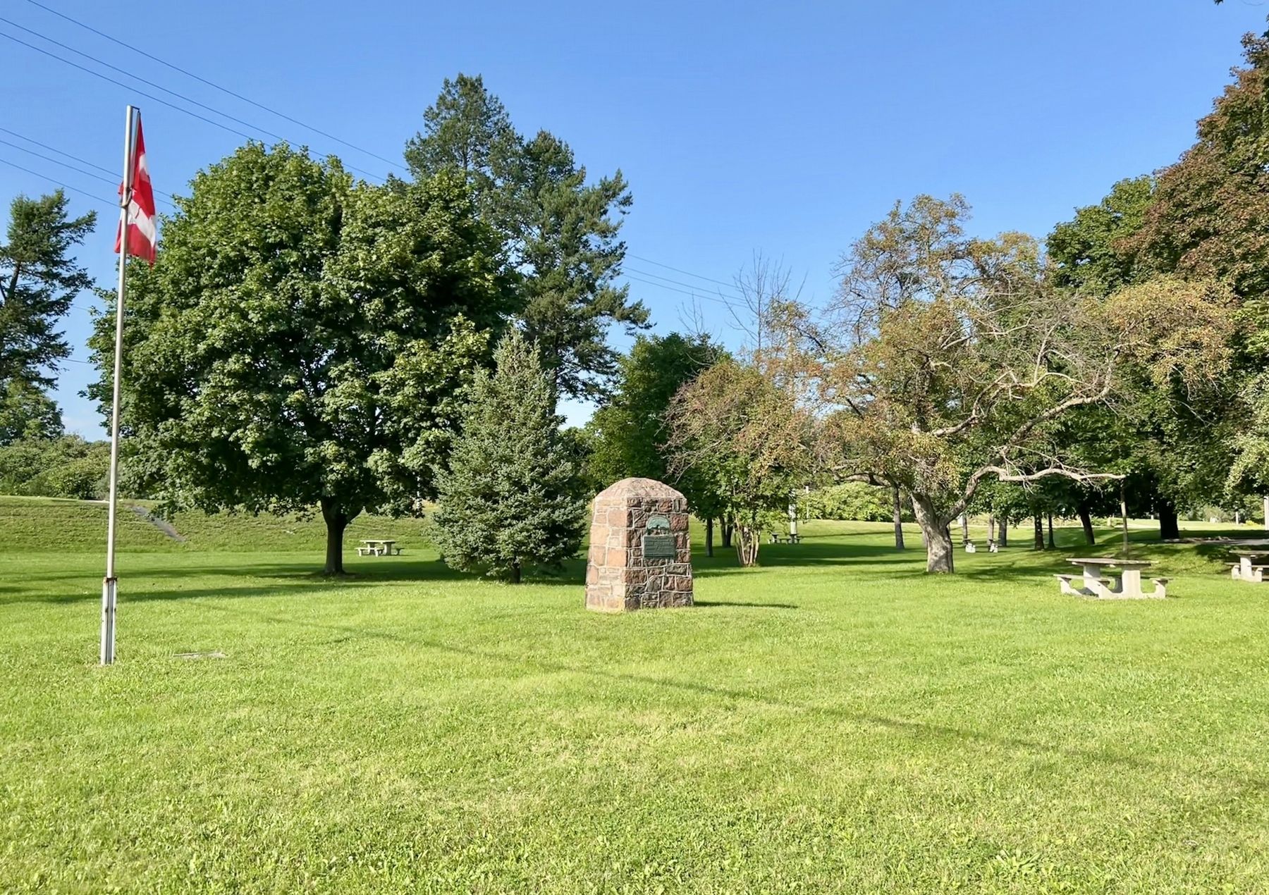
Adelaide Hunter-Hoodless Marker, facing northeast
| On Brant Road 24 at Brant Highway 5, on the right when traveling north on Brant Road 24. |
| On Elm Street at William Street, on the right when traveling south on Elm Street. |
| On Brant Highway 5, 0.5 kilometers west of Sager Road, on the right when traveling west. |
| On Homestead Road at Hiram Road, on the right when traveling east on Homestead Road. |
| On Riverview Terrace at Hiram Road, on the right when traveling east on Riverview Terrace. |
| On Paris Plains Church Road, 1.1 kilometers east of Pinehurst Road, on the left when traveling east. |
| On Grand River Street South at Burwell Street, on the right when traveling north on Grand River Street South. |
| On Grand River Street North at William Street, on the right when traveling north on Grand River Street North. |
| On West Street just north of Wellington Street, on the right when traveling north. |
| On Wellington Street just west of George Street, on the right when traveling west. |
| On Wellington Street just east of Market Street, on the left when traveling east. Reported missing. |
| On Tutela Heights Road, 0.8 kilometers east of Mount Pleasant Road, on the left when traveling east. |
| On Dalhousie Street just west of Market Street, on the left when traveling west. |
| Near Mohawk Street close to Morrison Road, on the left when traveling west. |
| On Fordview Court, on the right. |
| On Colborne Street East just east of Johnson Road, on the right when traveling east. |
| On Market Street just north of Darling Street, on the right when traveling north. |
| On Lynnwood Drive just south of Glenwood Drive, on the right when traveling south. |
| On George Street just south of Wellington Street, on the left when traveling south. |
| Near Ava Road, 0.4 kilometers north of Paris Road. |
| On Darling Street west of Market Street, on the left when traveling west. |
| On Mohawk Street close to Morrison Road, on the left when traveling west. |
| On George Street just north of Darling Street, on the right when traveling north. |
| On West Street just east of Brant Avenue, on the left when traveling east. |
| On Colborne Street East, 0.3 kilometers east of Wayne Gretzky Boulevard, on the right when traveling east. |
| On Dalhousie Street just west of George Street, on the right when traveling west. |
| On West Street just north of Chatham Street, on the left when traveling north. |
| On West Street just north of Chatham Street, on the left when traveling north. |
| Near Mohawk Street close to Morrison Road, on the left when traveling west. |
| Near Darling Street just west of George Street, on the right when traveling west. |
| On Tutela Heights Road, 0.8 kilometers east of Mount Pleasant Road, on the left when traveling east. |
| On Brant Avenue at Scarfe Avenue, on the right when traveling north on Brant Avenue. |
| On Wellington Street just east of George Street, on the left when traveling east. |
| On Tutela Heights Road, 0.8 kilometers east of Mount Pleasant Road, on the left when traveling east. |
| On Mohawk Street, on the right when traveling west. |
| On Fordview Court, on the right. |
| Near Mohawk Street close to Morrison Road, on the left. |
| Near Darling Street just west of George Street, on the right when traveling west. |
| On West Street just north of Wellington Street, on the right when traveling north. |
| Near Myrtleville Drive, 0.3 kilometers west of Balmoral Drive, on the right when traveling west. |
| Near George Street just north of Wellington Street, on the right when traveling north. |
| On Saint Paul Avenue at Palmerston Avenue, on the right when traveling south on Saint Paul Avenue. |
| On Oakland Road (County Route 4) at King Street South (County Route 24), on the right when traveling west on Oakland Road. |
| Near County Highway 54 just east of Chiefswood Road, on the right when traveling east. |
| On 4th Line close to Chiefswood Road, on the left when traveling west. |
| Near County Highway 54 just east of Chiefswood Road, on the right when traveling east. |
| Near County Highway 54 just east of Chiefswood Road, on the right when traveling east. |
| Near 4th Line close to Chiefswood Road, on the left when traveling west. |
| Near 4th Line close to Chiefswood Road, on the left when traveling west. |
| On 4th Line close to Chiefswood Road, on the left when traveling west. |
| Near Fourth Line Road at Chiefswood Road, on the left when traveling east. |
| On Simcoe Street at Talbot Street, in the median on Simcoe Street. |
| On Oakland Road (County Road 4) just east of Simcoe Street (County Road 16), on the right when traveling east. |
| On Blue Lake Road (County Road 35) 0.6 kilometers west of Brant Road (Provincial Highway 24), on the right when traveling west. |
| On Blue Lake Road (County Road 35) 0.6 kilometers west of Brant Road (Provincial Highway 24), on the right when traveling west. |
| On Blue Lake Road (County Road 35) 0.7 kilometers west of Brant Road (Provincial Highway 24), on the right when traveling west. |
| On Beverly Street East (Nixon Way) (County Highway 5) 0.2 kilometers east of Tolhurst Avenue (Reid Street), on the right when traveling east. |
| On Main Street South (County Road 13) at High Street, on the right when traveling north on Main Street South. |
| On Main Street South (County Road 13) at High Street, on the right when traveling north on Main Street South. |