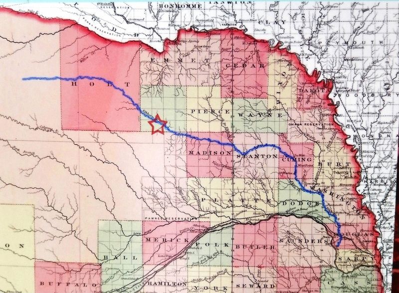
Marker detail: 1867 Nebraska Map
GEOGRAPHIC SORT Title Sort Marker Number Sort Marker Number Sort N Marker Number Sort T Publication Order Sort Publication Order Sort A Erected Year Sort Most Viewed Sort Most Recent-Interest Sort Most Recently Changed Sort SEE FAQ #33 FOR DESCRIPTIONS
On N Street south of East 2nd Street, on the left when traveling south.
On Box Butte Avenue just south of West 18th Street, on the right when traveling south.
On North Main Street, 0.1 miles south of East 3rd Street, on the left when traveling south.
On Windmill St Recreation Road east of Lowell Road (Nebraska Route 10C), on the right when traveling east.
On Central Avenue at 19th Street, on the left when traveling north on Central Avenue.
On U.S. 30, 0.2 miles east of 46th Avenue, on the right when traveling east.
On State Highway 2, 1 mile east of Ravenna Road (State Highway 68), on the right when traveling east.
On State Highway 61, 0.2 miles north of Survey Valley Road, on the left when traveling north.
On Front Street at Elm Street, on the left when traveling west on Front Street.
Near Interstate 80 (at milepost 61), 1.3 miles east of Upland Parkway (Alternate Interstate 80), on the right when traveling west.
Near Interstate 80 (at milepost 61), 1.3 miles east of Upland Parkway (Alternate Interstate 80), on the right when traveling west.
On Lincoln Highway (U.S. 30) 1 mile west of 13th Avenue, on the left when traveling west.
On East Smith Avenue (State Highway 21A Spur) just east of North Dorr Street, on the right when traveling east.
Paid Advertisement
On South E Street (State Highway 2) at South 8th Avenue, on the left when traveling east on South E Street.
On East 4th Street at Dakota Avenue on East 4th Street.
On McPhearson Street (U.S. 20) at State Highway 2, on the right when traveling east on McPhearson Street.
Near Bridges to Buttes Byway (U.S. 20) south of Soldier Creek Road, on the right when traveling east.
On Interstate 80 at milepost 227, on the right when traveling west.
On U.S. 30 at North Meridian Avenue, on the right when traveling east on U.S. 30.
On U.S. 30, 0.1 miles west of Road 430, on the right when traveling east.
On U.S. 30 at Road 446, on the right when traveling east on U.S. 30.
Near Interstate 80 at milepost 100, on the right when traveling east.
On Interstate 80 at milepost 99, on the right when traveling east.
On State Highway 25A at County Route 165, on the right when traveling north on State Highway 25A.
On West 3rd Street (State Highway 26E) just east of North Nebraska Street, on the right when traveling west.
On Main Street near 5th Avenue, on the right when traveling south.
On South 10th Street, on the right when traveling east.
On Underwood Avenue at Happy Hollow Boulevard, on the left when traveling west on Underwood Avenue.
On 10th Street near Cuming Street, on the right when traveling south.
Paid Advertisement
On 10th Street near Leavenworth Street, on the left when traveling south.
On Farnam Street, on the right when traveling west.
On Jackson Street at 10th Street, on the left when traveling east on Jackson Street.
On South Exeter Avenue at West Tecumseh Street, on the left when traveling north on South Exeter Avenue.
On G Street at North 9th Street, on the right when traveling east on G Street.
On 2nd Street near Court Street (U.S. 136), on the left when traveling north.
On Court Street (U.S. 136) at 2nd Street, on the right when traveling west on Court Street.
On H Street, 0.2 miles east of 13th Avenue (State Highway 96), on the left when traveling east.
Near Railroad Street just east of North Main Street, on the left when traveling east.
Near Railroad Street just east of North Main Street, on the left when traveling east.
On Northwest 1st Street west of North Cleveland Avenue, on the left when traveling west.
On Southwest 1st Street (State Highway 2) 10 miles west of North Washington Avenue (State Highway 97), on the right when traveling west.
On River Road, 4 miles north of U.S. 136, on the right when traveling north.
Near West Main Street (State Highway 49A Spur) just west of South Third Street, on the left when traveling west.
Paid Advertisement
On Broadway at 4th Street, on the right when traveling east on Broadway.
On Harold Warp Memorial Drive (32nd Road) (State Highway 10) near State Highway 50A, on the right when traveling south.
On West A Street near West Second Street.
On North 7th Street at P Street, on the right when traveling south on North 7th Street.
Near North Buffalo Bill Avenue, 0.8 miles north of Lincoln Highway (U.S. 30), on the right when traveling north.
Near North Buffalo Bill Avenue, 0.8 miles north of Lincoln Highway (U.S. 30), on the right when traveling north.
Near North Buffalo Bill Avenue, 0.8 miles north of Lincoln Highway (U.S. 30), on the right when traveling north.
Near North Buffalo Bill Avenue, 0.8 miles north of Lincoln Highway (U.S. 30), on the right when traveling north.
On East Third Street at North Dewey Street, on the right when traveling east on East Third Street.
Near North Buffalo Bill Avenue, 0.8 miles north of Lincoln Highway (U.S. 30), on the right when traveling north.
Near North Buffalo Bill Avenue, 0.8 miles north of Lincoln Highway (U.S. 30), on the right when traveling north.
On Main Avenue east of 4th Street, on the right when traveling east.
On Main Street (State Highway 88) at Gold Rush Byway (U.S. 385), on the right when traveling north on Main Street.
On Main Street just west of South 2nd Street, on the left when traveling west.
On West Street west of 2nd Street, on the left when traveling west.
On Market Street south of 3rd Street, on the right when traveling south.
Paid Advertisement
On Nebraska Route 67B Spur just west of Nebraska Route 50, on the left when traveling east.
On 13th Street (Business U.S. 30) near 27th Avenue, on the left when traveling east.
On 33rd Avenue (U.S. 30/81) at 7th Street on 33rd Avenue.
On Main Avenue at 9th Street, on the right when traveling north on Main Avenue.
On U.S. Hwy 30 Frontage Road (original Lincoln Hwy), 0.1 miles east of the intersection of 355th Avenue and 115th Street, on the left when traveling east.
On Walnut Street at Oak Street, on the left when traveling north on Walnut Street.
On Park Road just west of Main Street (U.S. 81), on the left when traveling west.
On North Washington Street north of East 2nd Street, on the right when traveling north.
On Old Oregon Trail (County Road K) 0.7 miles west of Meadowlark Boulevard, on the right when traveling west.
On State Highway 58, 0.4 miles south of Road 785, on the right when traveling south.
On U.S. 20 at milepost 1,, 1 mile east of the Nebraska/Wyoming State Line, on the right when traveling east.
On North Main Street just south of East 2nd Street, on the left when traveling south.
On 9th Street just west of C Street, on the right when traveling west.
On Road Q just east of U.S. 81, on the left when traveling east.
On Jewett Avenue (State Highway 2) just east of Pearl Street, on the right when traveling east.
On South Main Street (State Highway 15) 0.1 miles south of Clark Street, on the right when traveling south.
Paid Advertisement
On Welsch Street at South Seward Street, on the right when traveling west on Welsch Street.
On Lincoln Street, 0.1 miles south of West Jackson Street, on the right when traveling south.
On State Highway 93A at Local Road 11, on the right when traveling north on State Highway 93A.