By Barry Swackhamer, June 29, 2017
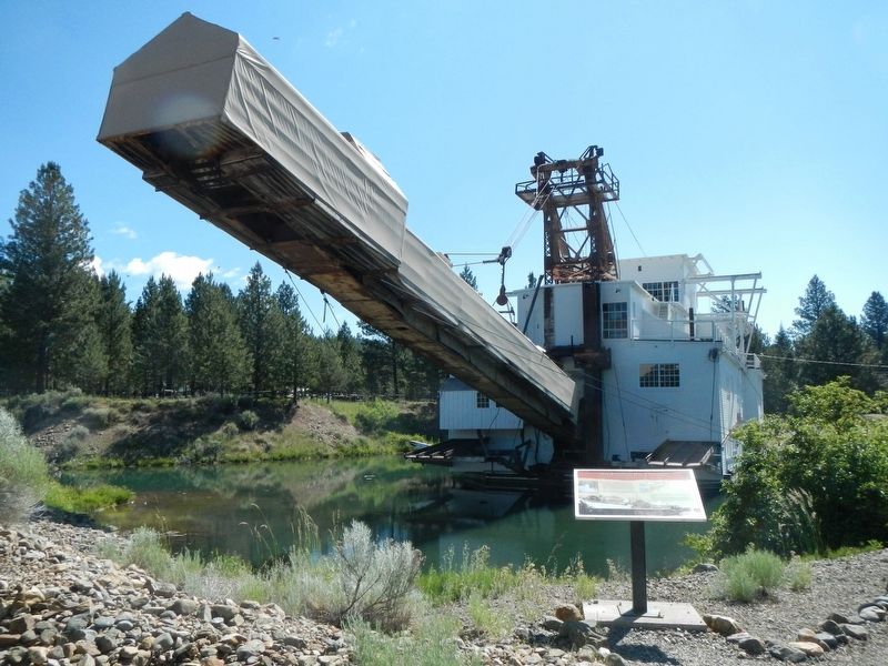
Anchoring the Dredge Marker
| Near Austin Street near Mill Street (County Route 410), on the right when traveling south. |
| On SW 1st Street north of SW Jefferson Avenue, on the right when traveling north. |
| On Northwest Van Buren Avenue. |
| Near Old River Road at Green Street. |
| On South McLoughlin Boulevard (Oregon Route 99E) 0.1 miles south of South 2nd Street, on the left when traveling north. |
| Near Washington Street near Abernethy Road, on the right when traveling north. |
| On Northbound Rest Area (Interstate 205), on the right when traveling north. |
| Near SW Boones Ferry Road at SW Tauchmann Street. |
| On SW Boones Ferry Rd, on the right when traveling south. |
| On Oregon Coast Highway (U.S. 101) north of Carnahan Road N, on the right when traveling north. |
| On Oregon Coast Highway (U.S. 101) north of Carnahan Road North, on the right when traveling north. |
| Near Coxcomb Drive, 0.7 miles 15th Street. |
| On East Columbia River Highway (U.S. 30) at 14th Street, on the left when traveling east on East Columbia River Highway. |
| Near East Columbia River Highway (U.S. 30) east of 16th Street, on the left when traveling east. |
| Near East Columbia River Highway (U.S. 30) west of 16th Street, on the left when traveling east. |
| On Exchange Street at 7th Street, on the left when traveling east on Exchange Street. |
| Near Fort Clatsop Road, 0.6 miles south of Warrenton-Astoria Highway (Business U.S. 101). |
| Near East Columbia River Highway (U.S. 30) west of 12th Street, on the left when traveling east. |
| On Marine Drive at 20th Street, on the left when traveling east on Marine Drive. |
| Near East Columbia River Highway (U.S. 30) north of 14th Street, on the right when traveling west. |
| Near East Columbia River Highway (U.S. 30) east of 11th Street, on the left when traveling east. |
| Near East Columbia River Highway (U.S. 30) east of 15th Street, on the left when traveling east. |
| On Marine Drive (U.S. 30) at 20th Street, on the left when traveling east on Marine Drive. |
| Near East Columbia River Highway (U.S. 30) north of 14th Street, on the right when traveling west. |
| On Columbia Avenue at West Marine Drive (U.S. 30), on the right when traveling north on Columbia Avenue. |
| On Burnside Loop near Columbia River Highway (U.S. 30). |
| Near Coxcomb Drive, 0.7 miles 15th Street. |
| Near Fort Clatsop Road near Business U.S. 101. |
| On Oregon Coast Highway (U.S. 101) near Radar Road, on the right when traveling south. |
| Near Peter Iredale Rd near Burma Road. |
| Near Peter Iredale Rd near Burma Road. |
| On Columbia River Highway (U.S. 30) near North Buck Way, on the right when traveling north. Reported missing. |
| On Columbia River Highway (U.S. 30) at SW Old Portland Road, on the left when traveling north on Columbia River Highway. |
| On Columbia River Highway (U.S. 30) at SW Old Portland Road, on the left when traveling north on Columbia River Highway. |
| On Yachts Landing west of The Strand, on the left when traveling west. |
| Near The Strand south of St. Helens Street, on the left when traveling south. |
| On Parkersburg Road, on the right when traveling south. |
| On Oregon Coast Highway (U.S. 101) north of East Market Avenue, on the right when traveling north. |
| On Oregon Coast Highway (U.S. 101) north of Central Avenue, on the right when traveling north. |
| On Oregon Coast Highway (U.S. 101) north of Central Avenue, on the right when traveling north. |
| Near Cape Arago Highway, 5 miles west of Seven Devils Road. |
| On Oregon Coast Highway (U.S. 101) north of Anderson Avenue, on the right when traveling north. |
| On Oregon Coast Highway (U.S. 101) north of Anderson Avenue, on the right when traveling north. |
| On South Empire Boulevard south of Wisconsin Avenue, on the right when traveling north. |
| On Oregon Coast Highway (U.S. 101) north of Anderson Avenue, on the right when traveling north. |
| On Oregon Coast Highway (U.S. 101) north of Anderson Avenue, on the right when traveling north. |
| On Oregon Coast Highway (U.S. 101) north of Anderson Avenue, on the right when traveling north. |
| On Oregon Coast Highway (U.S. 101) north of Central Avenue, on the right when traveling north. |
| On Oregon Coast Highway (U.S. 101) north of Central Avenue, on the right when traveling north. |
| On Oregon Coast Highway (U.S. 101) north of Central Avenue, on the right when traveling north. |
| Near Coguille-Bandon Highway (Oregon Route 42S) south of Coos Bay-Roseburg Highway (Oregon Route 42). |
| On Ellensburg Avenue (U.S. 101) north of Gauntlett Street, on the right when traveling north. |
| On Harbor Way (U.S. 101), on the right when traveling south. |
| Near Harbor Drive west of Lower Harbor Road, on the right when traveling west. |
| Near Cape Blanco Road, 3.9 miles west of U.S. 101, on the right when traveling west. |
| On U.S. 101, on the right when traveling south. |
| On Oregon Coast Highway (U.S. 101) 0.1 miles north of Sixes River Road, on the left when traveling north. |
| Near Forest Road 9702, 4 miles west of The Dalles-California Highway (U.S. 97). |
| Near SW Powerhouse Drive north of SW Columbia Street when traveling west. |
| On Umpqua Highway (Oregon Route 38) 4 miles west of Loon Lake Road, on the right when traveling west. |
| On Lighthouse Road west of Oregon Coast Highway (U.S. 101), on the right when traveling north. |
| On Lighthouse Road west of Oregon Coast Highway (U.S. 101), on the right when traveling north. |
| On Beech Street at Locust Street, on the right when traveling west on Beech Street. |
| Near State Highway 19 near U.S. 26, on the right when traveling north. |
| Near Oregon Route 19 near U.S. 25, on the right when traveling north. |
| Near Southwest Cascade Avenue near Wa Na Pa Street. |
| On Wa Pa Na Street, on the right when traveling south. |
| On East Port Marina Drive north of Interstate 84 when traveling north. |
| On East Port Marina Drive north of Interstate 84, on the left when traveling north. |
| On Green Springs Highway (U.S. 66), on the right when traveling south. |
| On Table Rock Rd, on the right when traveling south. |
| On Rogue River Hwy (U.S. 99). |
| On Merlin-Galice Road near Hog Creek Road, on the left when traveling west. |
| On Unnamed Road, 0.3 miles Keno Access Road. |
| On Green Springs Highway (Highway 66) at River Street, on the right when traveling south on Green Springs Highway. |
| On Oc&E Woods Line State Trail. |
| On Main Street near Klamath Avenue, on the right when traveling west. |
| Near Lakeshore Drive (Route 630), on the right when traveling west. |
| On Lakeshore Drive, on the right when traveling west. |
| Near Cape Creek Road west of Oregon Coast Highway (U.S. 101) when traveling west. |
| Near Cape Creek Road west of Oregon Coast Highway (U.S. 101) when traveling west. |
| Near Bay Street east of Kingwood Street. |
| Near Cape Creek Road west of Oregon Coast Highway (U.S. 101) when traveling west. |
| Near Cape Creek Road west of Oregon Coast Highway (U.S. 101). |
| Near Bay Street east of Kingwood Street. |
| On Bay Street east of Oregon Coast Highway (U.S. 101), on the right when traveling east. |
| Near Bay Street east of Kingwood Street, on the right when traveling east. |
| On North Coastal Highway (US 101). |
| On Oregon Coast Highway (U.S. 101) south of Southeast 54th Drive, on the right when traveling south. |
| Near Northwest Lighthouse Drive west of Oregon Coast Highway (U.S. 101). |
| Near Northwest Lighthouse Drive west of Oregon Coast Highway (U.S. 101). |
| Near Northwest Lighthouse Drive. |
| Near Northwest Lighthouse Drive west of Oregon Coast Highway (U.S. 101). |
| Near Southeast Marine Science Drive, on the right when traveling west. |
130 entries matched your criteria. The first 100 are listed above.
The final 30 ⊳