By Devry Becker Jones (CC0), June 29, 2024
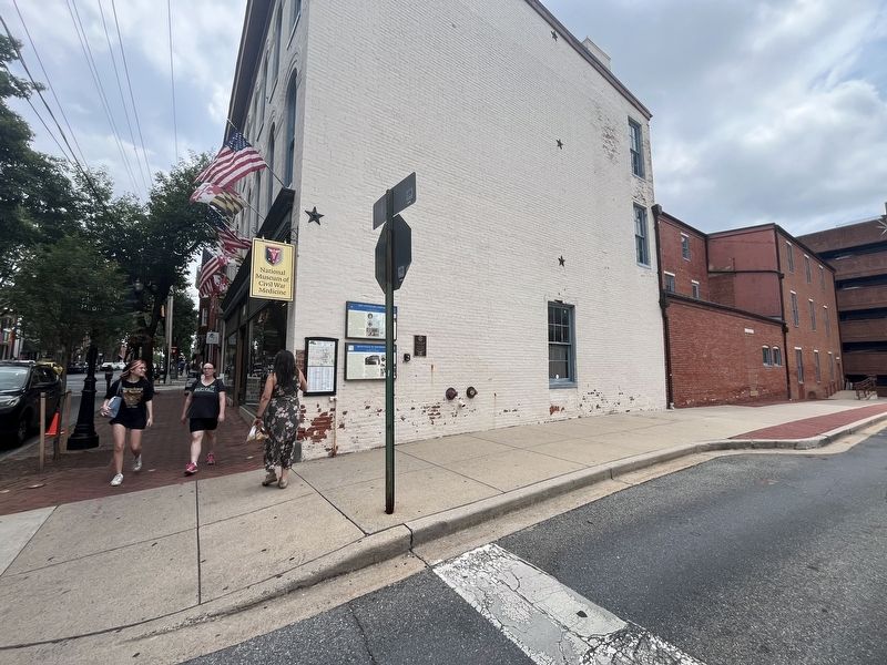
The Rotary Club of Frederick Marker
| On East Patrick Street (Maryland Route 144) just west of Maxwell Avenue, on the right when traveling east. |
| Near South Carroll Street north of East All Saints Street, on the right when traveling north. Reported damaged. |
| Near South Market Street. |
| On Main Street at Office Street, on the left when traveling north on Main Street. |
| On Olney-Sandy Spring Road (Maryland Route 108) at Georgia Avenue ( Route 97), on the right when traveling east on Olney-Sandy Spring Road. |
| On Corporal Frank Scott Drive near Litton Road. |
| On Charlotte Hall Road 0.2 miles north of Charlotte Hall School Road, on the left when traveling north. |
| On Charlotte Hall Road south of Charlotte Hall School Road, on the right when traveling south. |
| On Salisbury Street at Commerce Street, on the left when traveling west on Salisbury Street. |
| On Salisbury Street at Commerce Street, on the left when traveling west on Salisbury Street. |
| Near Ocean Street 0.1 miles south of South Street. |
| On High School Road at Main Street, on the right when traveling south on High School Road. |
| On Main Street at Center Street, on the left when traveling south on Main Street. |
| On Ocean Street at Main Street on Ocean Street. |
| On Main Street 0.1 miles north of Pearl Street, on the left when traveling south. |
| On Main Street at Cottage Street, on the right when traveling north on Main Street. |
| On Hobart Street at Forest Street, on the left when traveling west on Hobart Street. |
| On Washington Square West (Route 1A) just north of Essex Street, on the right when traveling north. |
| Near Washington Square West, on the left when traveling south. |
| On Park Street east of Van Dean Avenue, on the right when traveling west. |
| Near Main Street (U.S. 20) at Chestnut Street, on the right when traveling north. |
| Near Auburn Street 0.1 miles south of Southbridge Street (Massachusetts Route 12). |
| On US Route 31 (U.S. 31) 0.2 miles north of 1st Street, on the right when traveling north. |
| Near Adams Street at 4th Street, on the right when traveling north. |
| On Center Avenue at Saginaw Street, on the right when traveling east on Center Avenue. |
| On Division Street (Business Interstate 69) at East Chicago Street (U.S. 12), on the left when traveling south on Division Street. Reported missing. |
| On Brewer Street near North Kalamazoo Avenue, on the right when traveling north. |
| On Crary Street near South Kalamazoo Avenue, on the right when traveling west. |
| On South Gordon Street at Michigan Avenue, on the right when traveling south on South Gordon Street. |
| On Gorham Street near Sibley Lane, on the right when traveling east. |
| On Hobart Road at North Kalamazoo Avenue, on the right when traveling west on Hobart Road. |
| On Ketchum Street 0.1 miles west of Jones Street, on the right when traveling east. |
| On East Mansion Street at North Madison Street, on the right when traveling west on East Mansion Street. |
| On Michigan Avenue at North Kalamazoo Avenue, on the left when traveling west on Michigan Avenue. |
| On Montgomery Street near Maple Street, on the right when traveling west. |
| On Sam Hill Drive near U.S. 27, on the right when traveling east. |
| On Manor Drive near South Center Road. |
| On Ritchie Drive 0.3 miles east of North Lakeshore Road. |
| On Abbot Road near Burcham Drive. |
| On North Putnam Street at High Street, on the left when traveling north on North Putnam Street. |
| On North Putnam Street at High Street, on the left when traveling north on North Putnam Street. |
| On North Main Street north of Cass Avenue, on the right when traveling north. |
| On North Main Street at Macomb Place, on the right when traveling north on North Main Street. |
| On Main Street (State Highway 22) at 1st Avenue, on the right when traveling west on Main Street. |
| Near North Custer Road at Raisinville Road. |
| On West Main Street (Michigan Route 32) at North Court Avenue, on the right when traveling west on West Main Street. |
| On West Main Street (Michigan Route 32) near Michigan Avenue. |
| On West Main Street (State Highway 32) at South Court Avenue, on the left when traveling west on West Main Street. |
| On West Main Street (Michigan Route 32) at South Center Avenue, on the right when traveling east on West Main Street. |
| On West Main Street (State Highway 32) at North Otsego Avenue, on the right when traveling west on West Main Street. |
| On West Main Street (Michigan Route 32) at South Otsego Avenue (Business Interstate 75), on the right when traveling east on West Main Street. |
| On West Main Street (State Highway 32) west of North Court Avenue, on the right when traveling west. |
| On West Main Street (County Route 32) west of North Otsego Avenue, on the right when traveling west. |
| On West Main Street (Michigan Route 32) east of North Court Avenue, on the right when traveling west. |
| On West Main Street (State Highway 32) west of North Court Avenue, on the right when traveling west. |
| On East Main Street at North Shiawassee Street, on the right when traveling east on East Main Street. |
| On South Water Street (Michigan Route 29) near Bridge Street, on the right when traveling north. |
| On Michigan Street at Prospect Place, on the right when traveling north on Michigan Street. |
| On South State Street (State Highway 81) at South Almer Street, on the right when traveling south on South State Street. |
| On Water Street west of Maple Street, on the right when traveling west. |
| On Water Street at St. Joseph Street, on the right when traveling west on Water Street. |
| On State Highway 17 at Emmet Street, on the right when traveling north on State Highway 17. |
| On Ballard Street at Emmett Street, on the right when traveling south on Ballard Street. |
| On Huron River Drive at Violet Street, on the right when traveling north on Huron River Drive. |
| On Wayne Road 0.1 miles south of Goddard Road, on the right when traveling north. |
| Near Penn Avenue South at Old Shakopee Road. |
| On 5th Street Southwest at Becker Avenue Southwest, on the right when traveling south on 5th Street Southwest. |
| Near Business U.S. 71 near 10th Street Northeast, on the left when traveling north. |
| On 6th Avenue Southeast at 3rd Street Southeast, on the right when traveling south on 6th Avenue Southeast. |
| Near North Broadway (U.S. 59) south of 1st Avenue Northeast, on the right when traveling north. |
| Near Enger Tower Drive 0.2 miles east of Hank Jensen Drive. |
| Near Enger Tower Drive 0.2 miles east of Hank Jensen Drive. |
| Near Enger Tower Drive 0.2 miles east of Hank Jensen Drive. |
| Near Enger Tower Drive 0.2 miles east of Hank Jensen Drive. |
| Near Enger Tower Drive 0.2 miles east of Hank Jensen Drive. |
| Near South Lake Avenue, on the left when traveling south. |
| On East Howard Street (Business U.S. 169) at 4th Avenue East, on the right when traveling east on East Howard Street. |
| On East Howard Street (Business U.S. 169) east of 1st Avenue, on the right when traveling east. |
| On Public Square at Main Street, on the left when traveling east on Public Square. |
| On Pine Street south of West 1st Street, on the left when traveling south. |
| On North 14th Street north of Washington Avenue, on the right when traveling north. |
| On Airport Boulevard at Fifth Street on Airport Boulevard. |
| On North 5th Street just north of East Ash Street, on the left when traveling north. |
| On North Main Street, on the left when traveling south. |
| On East Pine Street (U.S. 60) at North 2nd Street, on the right when traveling east on East Pine Street. |
| On Broadway Street west of North West End Boulevard, on the right when traveling west. |
| Near Fort Street at Westport Street, on the right when traveling west. |
| On Broadway Street at North Lorimier Street, on the left when traveling east on Broadway Street. |
| On Broadway Street at North Sunset Boulevard, on the right when traveling east on Broadway Street. |
| On West 5th Street at Lafayette Street, on the left when traveling east on West 5th Street. |
| On Irving Avenue near Lynn Street, on the right when traveling north. |
| On SE Main Street north of SE 3rd Street, on the left when traveling north. |
955 entries matched your criteria. Entries 301 through 400 are listed above.
⊲ Previous 100 —
Next 100 ⊳

