By Anton Schwarzmueller, August 18, 2016
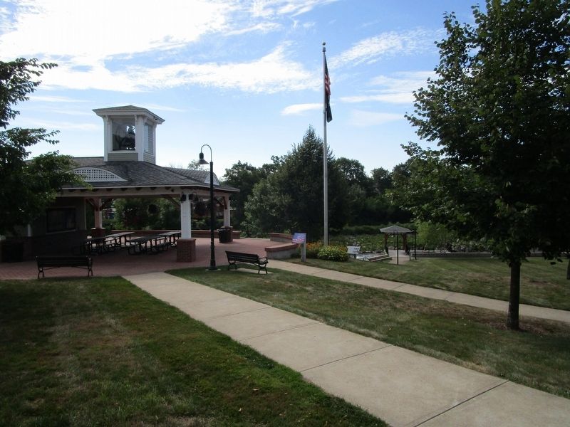
The Tilton Mills Marker in Riverfront Park
| Near West Main Street (U.S. 3) at Winter Street, on the left when traveling west. |
| On Main Street (U.S. 302) at Albany Avenue, on the left when traveling west on Main Street. |
| On White Mountain Road (U.S. 302) at Kearsarge Road, on the right when traveling north on White Mountain Road. |
| Near Center Street (New Hampshire Route 28) 0.1 miles north of Willow Street, on the left when traveling north. |
| On New Hampshire Route 9A at Joslin Street, on the right when traveling west on State Route 9A. |
| On Canal Street (New Hampshire Route 119) 0.5 miles east of Chesterfield Road (New Hampshire Route 63), on the left when traveling east. |
| On Canal St., on the right when traveling east. |
| On Main Street (New Hampshire Route 12) at Manchester Street, on the right when traveling north on Main Street. |
| On Railroad Street just east of Main Street, on the right when traveling east. |
| On Washington St., on the right when traveling south. |
| On Cheshire Rail Trail at Main Street, on the left when traveling west on Cheshire Rail Trail. |
| On Franklin Pierce Highway (New Hampshire Route 9), on the right when traveling east. |
| On Main Street (New Hampshire Route 119) just north of Parker Street, on the right when traveling north. |
| On Main Street (New Hampshire Route 16), on the right when traveling north. |
| On East Milan Road, 1.5 miles north of 12th Street, on the left when traveling north. |
| On U.S. 302 at Mt. Washington Hotel Road, on the left when traveling north on U.S. 302. |
| On Base Station Road, 6.2 miles east of U.S. 302 when traveling east. |
| On U.S. 302 at Zealand Road, on the right when traveling east on U.S. 302. |
| On U.S. 302, 0.3 miles east of Mt Clinton Road, on the right when traveling east. |
| On U.S. 302, 0.4 miles east of Rosebrook Road, on the right when traveling east. |
| On U.S. 302 at Base Station Road, on the right when traveling west on U.S. 302. |
| On U.S. 3 at Mohawk Road, on the right when traveling north on U.S. 3. |
| On Main Street (U.S. 3) at Pleasant Street, on the left when traveling north on Main Street. |
| On Main Street (U.S. 3) at Pleasant Street, on the right when traveling north on Main Street. |
| On Main Street (U.S. 3) north of Mohawk Road, on the left when traveling north. |
| On Main Street (U.S. 3) north of Titus Hill Road, on the right when traveling north. |
| On Main Street (U.S. 3) south of Bridge Street (New Hampshire Route 26), on the left when traveling north. |
| On South Main Street (U.S. 3) at Colby Street, on the right when traveling north on South Main Street. |
| On Main Street (U.S. 3) 0.1 miles north of Berlin-Groveton Highway (New Hampshire Route 110), on the right when traveling north. |
| Near Main Street (Route 2) north of Mechanic Street, on the left when traveling north. |
| On Main Street (U.S. 2) north of Mechanic Street, on the left when traveling west. |
| On Durand Road East, on the right when traveling west. |
| On Stark Highway (New Hampshire Route 110) 8.5 miles east of U.S. 3, on the right when traveling east. |
| On U.S. 3, 0.3 miles south of Washburn Road, on the right when traveling south. |
| On Whitefield Road (New Hampshire Route 116) at Deer Run Road, on the right when traveling west on Whitefield Road. |
| On Main Street (U.S. 302) at Church Street, on the right when traveling east on Main Street. |
| On Main Street (U.S. 302) at Agassiz Street (New Hampshire Route 142), on the right when traveling east on Main Street. |
| On E. Lost River Road (New Hampshire Route 112) at Tunnel Brook Road, on the right when traveling east on E. Lost River Road. |
| On Main Street at Blacksmith Alley, on the right when traveling west on Main Street. |
| On Main Street at Blacksmith Alley, on the right when traveling west on Main Street. |
| On Main Street at Oak Grove Street, on the left when traveling east on Main Street. |
| On New Hampshire Route 4A, 0.2 miles south of Goodhue Hill Road, on the right when traveling south. |
| On Main Street (New Hampshire Route 116) 0.1 miles south of Sugar Hill Road (New Hampshire Route 117), on the left when traveling north. |
| On Main Street (New Hampshire Route 116) 0.1 miles south of Sugar Hill Road (New Hampshire Route 117), on the left when traveling north. |
| On Main Street (New Hampshire Route 116) 0.1 miles south of Sugar Hill Road (New Hampshire Route 117), on the right when traveling south. |
| On Kancamagus Highway, on the right when traveling east. |
| On North Main Street (U.S. 302) 1.7 miles east of Sugar Hill Road (New Hampshire Route 117), on the right when traveling east. |
| On Main Street (U.S. 302) east of Ammonoosuc Street, on the right when traveling east. |
| On Main Street (U.S. 302) at Westhill Street, on the right when traveling east on Main Street. |
| On Main Street (U.S. 302) east of School Street, on the right when traveling east. |
| On Main Street (U.S. 302) east of Jackson Street, on the right when traveling east. |
| On Main Street (U.S. 302) west of Mill Street, on the right when traveling east. |
| On Main Street (U.S. 302) east of Ammonoosuc Street, on the right when traveling east. |
| On Main Street (U.S. 302) west of Union Street (New Hampshire Route 116), on the right when traveling east. |
| On Main Street (U.S. 302) west of School Street, on the right when traveling west. |
| On Main Street (U.S. 302) at Jackson Street, on the right when traveling west on Main Street. |
| On Cottage Street south of Main Street (U.S. 302), on the right when traveling south. |
| On Main Street (U.S. 302) east of Ammonoosuc Street, on the right when traveling east. |
| On Riverside Drive north of South Street, on the right when traveling east. |
| On Main Street (U.S. 302) east of Saranac Street, on the right when traveling east. |
| On Main Street (U.S. 302) east of Mill Street, on the right when traveling east. |
| On Meadow Street (US 302), 2 miles south of Styles Bridges Highway. |
| On Main St (New Hampshire Route 3) at High Street, on the left when traveling north on Main St. |
| On Sugar Hill Road (New Hampshire Route 117) at Lovers Lane, on the right when traveling south on Sugar Hill Road. |
| On South River Road (U.S. 3) 0.1 miles south of Kilton Road, on the right when traveling south. |
| On Mast Street (New Hampshire Route 114) at High Street (New Hampshire Route 13), on the left when traveling south on Mast Street. |
| On Canal Street at West Pentacook Street, on the right when traveling north on Canal Street. |
| On Commercial Street at Stark Street, on the right when traveling north on Commercial Street. |
| On Notre Dame Avenue near Armory Street, on the right when traveling north. |
| On Valley Road (New Hampshire Route 123) near Cascade Road, on the right when traveling south. |
| On Water Street at Factory Street, on the right when traveling south on Water Street. |
| Near Pearson Avenue, 0.1 miles east of Main Street, on the left when traveling east. |
| On Clocktower Place, on the left when traveling west. |
| On Main Street north of Hollis Street, on the right when traveling north. |
| On Concord Stage Road (New Hampshire Route 77) at South Sugar Hill Road, on the right when traveling east on Concord Stage Road. |
| On North Stark Highway (New Hampshire Route 114), on the right when traveling north. |
| On South Stark Highway (New Hampshire Route 114) 0.1 miles south of Orchard Hill Road, on the right when traveling south. |
| On Suncook Valley Highway (New Hampshire Route 28), on the right when traveling south. |
| On Main Street (U.S. 3/202) south of Capitol Street, on the left when traveling south. |
| On North Main Street (U.S. 3) at Capitol Street, on the right when traveling north on North Main Street. |
| On North Main Street (U.S. 3) south of School Street, on the right when traveling north. |
| On South Main Street (U.S. 3), on the right when traveling south. |
| On Main Street (U.S. 202) at Hopkinton Road (New Hampshire Route 103), on the right when traveling east on Main Street. |
| On Keyser Street at Wadleigh Hill Road, on the right when traveling east on Keyser Street. |
| On Main Street at Union Street, on the left when traveling north on Main Street. |
| On New Hampshire Route 114 at Meetinghouse Hill Road on State Route 114. |
| On Chester Street (New Hampshire Route 121) at Raymond Road (New Hampshire Route 102), on the left when traveling east on Chester Street. |
| On String Bridge, on the right when traveling south. |
| On Water Street east of Front Street, on the right when traveling east. |
| On Main Street (New Hampshire Route 107) at Sandown Road, on the right when traveling north on Main Street. |
| On Main Street (New Hampshire Route 107) north of Spaulding Road, on the right when traveling north. |
| On Portsmouth Avenue at Post Road (New Hampshire Route 151), on the right when traveling west on Portsmouth Avenue. Reported damaged. |
| On Main Street (Route 1B) east of Atkinson Street, on the left when traveling east. |
| Near Marcy Street east of Puddle Lane, on the right when traveling north. |
121 entries matched your criteria. The first 100 are listed above.
The final 21 ⊳