Susan C. Haile Gravesite
| On West 70th Street, 0.4 miles west of Shiloh Avenue, on the right when traveling west. |
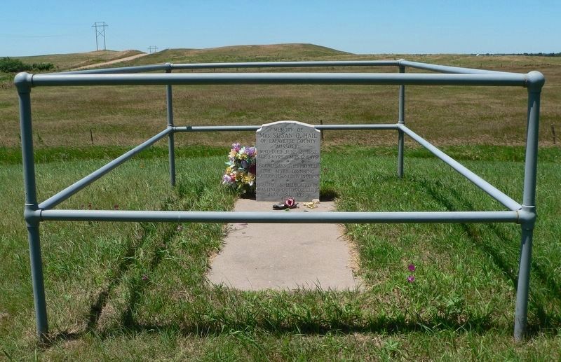
| On County Road 198, 0.1 miles east of L Street (524th Road), on the right when traveling east. |
| On N Street south of East 2nd Street, on the left when traveling south. |
| On West 2nd Street just west of South Center Street (State Highway 45), on the right when traveling west. |
| On Heath Street at Cedar Street, on the right when traveling west on Heath Street. |
| On Front Street (State Highway 14) just north of 10th Street, on the right when traveling north. |
| On Beaver Street (State Highway 39) at 4th Street, on the right when traveling west on Beaver Street. |
| On State Highway 87 at Dodge Road (State Highway 7E), on the right when traveling north on State Highway 87. |
| On US 20 (U.S. 20), on the left when traveling east. |
| On North Main Street, 0.1 miles south of East 3rd Street, on the left when traveling south. |
| On Court Street (State Highway 10C) at 2nd Street, on the left when traveling south on Court Street. |
| On Windmill St Recreation Road east of Lowell Road (Nebraska Route 10C), on the right when traveling east. |
| On 2nd Street near Court Street (Nebraska Highway 10C), on the left when traveling west. |
| On U.S. 30, 0.1 miles east of Navaho Road. |
| On LaBarre Street at 1st Street, on the left when traveling south on LaBarre Street. |
| On West 11th Street at 6th Avenue, on the right when traveling west on West 11th Street. |
| On Central Avenue at 19th Street, on the left when traveling north on Central Avenue. |
| On Central Avenue at Railroad Street, on the right when traveling north on Central Avenue. |
| Near University Drive, 0.2 miles east of Lincoln Highway (U.S. 30), on the right when traveling east. |
| On Interstate 80 at milepost 271, on the right when traveling west. |
| On U.S. 30 at 1733 Road, on the right when traveling east on U.S. 30. |
| On State Highway 2, 1 mile east of Ravenna Road (State Highway 68), on the right when traveling east. |
| On U.S. 30 at South C Street, on the left when traveling west on U.S. 30. |
| On U.S. 30 at South D Street, on the right when traveling west on U.S. 30. |
| On Road 41 close to Road M, on the right. |
| On State Highway 50, on the left when traveling north. |
| Near U.S. 81, 1.5 miles south of 898th Rd.. |
| On U.S. 81, 1.5 miles south of 898th Rd. |
| Near U.S. 81, 1.5 miles south of 898th Rd.. |
| Near U.S. 81, 1.5 miles south of 898th Rd.. |
| On South Broadway Avenue north of East Franklin Street (State Highway 84), on the right when traveling north. |
| On Bodeman Park Drive just north of U.S. 6, on the right when traveling north. |
| On U.S. 20, on the right when traveling east. |
| On State Highway 61, 0.2 miles north of Survey Valley Road, on the left when traveling north. |
| On U.S. 20 at milepost 198, on the right when traveling west. |
| On Main Street (Lincoln Highway) (U.S. 30) at Road 79, on the right when traveling east on Main Street (Lincoln Highway). |
| On Front Street at Elm Street, on the left when traveling west on Front Street. |
| Near Interstate 80 (at milepost 61), 1.3 miles east of Upland Parkway (Alternate Interstate 80), on the right when traveling west. |
| On Hickory Street at 10th Street, on the left when traveling east on Hickory Street. |
| Near Interstate 80 (at milepost 61), 1.3 miles east of Upland Parkway (Alternate Interstate 80), on the right when traveling west. |
| On Lincoln Highway (U.S. 30) 1 mile west of 13th Avenue, on the left when traveling west. |
| On East Ash Street east of North Saunders Avenue, on the right when traveling east. |
| On Road 11 (State Highway 15) 1.9 miles north of Lincoln Highway (U.S. 30), on the right when traveling north. |
| On Road South (State Highway 51) 0.4 miles west of State Route 16, on the right when traveling west. |
| On East Smith Avenue (State Highway 21A Spur) just east of North Dorr Street, on the right when traveling east. |
| On South E St. (State Highway 2) at 10th Street, on the left when traveling east on South E St.. |
| On South E Street (State Highway 2) at South 8th Avenue, on the left when traveling east on South E Street. |
| On State Highway 2 at milepost 273, on the right when traveling east. |
| Near East Pacific Street at North Cameron Avenue. |
| On Etna Road just east of State Highway 47, on the left when traveling east. |
| Near Second Street, 0.2 miles east of U.S. Highway 183 (Nebraska Highway 2), on the left when traveling east. |
| On South 15th Street just south of Hickory Street, on the right when traveling south. |
| On East Elk Street at North John Street, on the left when traveling east on East Elk Street. |
| On West 4th Street just east of Chadron Avenue, on the right when traveling west. |
| On U.S. 385 near U.S. 20. |
| On McPhearson Street (U.S. 20) at State Highway 2, on the right when traveling east on McPhearson Street. |
| On 2nd Street just south of Ash Street, on the left when traveling north. |
| Near Bridges to Buttes Byway (U.S. 20) south of Soldier Creek Road, on the right when traveling east. |
| On Main Street just west of 1st Street, in the median. |
| Near Interstate 80 at milepost 226, on the right when traveling east. |
| On Interstate 80 at milepost 227, on the right when traveling west. |
| On Local Route 769 at Local Route 409 on Local Route 769. |
| On 15th Street, on the left when traveling east. |
| On U.S. 30, 0.1 miles west of Road 430, on the right when traveling east. |
| On U.S. 30 at Road 446, on the right when traveling east on U.S. 30. |
| Near Interstate 80 at milepost 100, on the right when traveling east. |
| On County Highway 36 at County Highway 63.2, on the left when traveling south on County Highway 36. |
| On Interstate 80 at milepost 99, on the right when traveling east. |
| On County Highway 36 at County Highway 63.2, on the left when traveling south on County Highway 36. |
| On County Highway 36 at County Highway 63.2, on the left when traveling south on County Highway 36. |
| On Railroad Street (State Highway 138) at Pine Street on Railroad Street. |
| On State Highway 25A at County Route 165, on the right when traveling north on State Highway 25A. |
| On West 3rd Street (State Highway 26E) just east of North Nebraska Street, on the right when traveling west. |
| On North Park Avenue at East 5th Street, on the right when traveling north on North Park Avenue. |
| On Military Avenue, on the right when traveling east. |
| On Military Avenue at D Street, on the left when traveling east on Military Avenue. Reported permanently removed. |
| On State Highway 79 at County Highway K, on the right when traveling south on State Highway 79. |
| On 30th Street, on the right when traveling north. |
| On North 30th Street, on the right when traveling south. |
| On 30th Street, on the right when traveling north. |
| On 30th Street at Willit Street, on the left when traveling north on 30th Street. Reported missing. |
| On McKinley Street at 30th Street, on the left when traveling east on McKinley Street. |
| On North 30th Street, on the right when traveling south. |
| On McKinley Street at 30th Street, on the left when traveling east on McKinley Street. |
| On 30th Street at Mormon Street, on the left when traveling north on 30th Street. |
| On John J Pershing Dr at Hummel Rd, on the left when traveling north on John J Pershing Dr. |
| On John J Pershing Drive at Hummel Road, on the left when traveling north on John J Pershing Drive. |
| On Underwood Avenue at Happy Hollow Boulevard, on the left when traveling west on Underwood Avenue. |
| On Riverfront Drive, on the right when traveling north. |
| On Farnam Street at South 17th Street, on the left when traveling west on Farnam Street. |
| On Riverfront Drive, on the right when traveling south. |
| On 10th Street near Cuming Street, on the right when traveling south. |
| On Douglas Street near 14th Street, on the right when traveling east. Reported missing. |
| On Dodge Street (U.S. 6) at 19th Street, on the left when traveling west on Dodge Street. |
| On Capitol Avenue near 18th Street, on the right when traveling west. |
| On Woolworth Avenue near 32nd Street, on the left when traveling east. |
382 entries matched your criteria. The first 100 are listed above.
Next 100 ⊳