By Mark Hilton, August 26, 2017
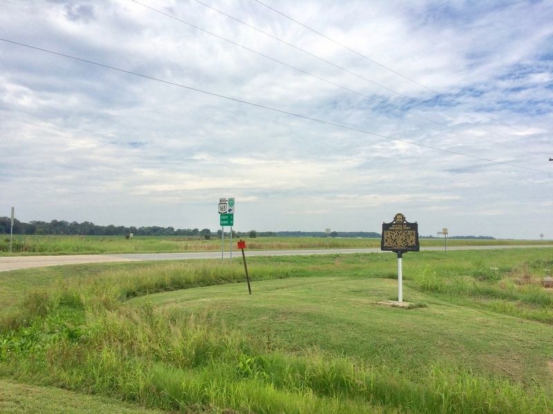
View of marker looking north on U.S. 165.
GEOGRAPHIC SORT Title Sort Marker Number Sort Marker Number Sort N Marker Number Sort T Publication Order Sort Publication Order Sort A Erected Year Sort Most Viewed Sort Most Recent-Interest Sort Most Recently Changed Sort SEE FAQ #33 FOR DESCRIPTIONS
On U.S. 165 at State Route 169, on the right when traveling north on U.S. 165.
On East Jefferson Street east of North Oak Street, on the left when traveling east.
On South Main Street (Business U.S. 62) at East 7th Street, on the right when traveling north on South Main Street.
On Georgia Flat Road (County Road 503) at Kane Road (County Road 422), on the left when traveling west on Georgia Flat Road.
On Jackson Place north of McClure Avenue (County Road 923), on the left when traveling north.
On West New Hope Road at South Osage Springs Drive, on the right when traveling west on West New Hope Road.
On State Highway 12, 0.1 miles west of Van Winkle Place Road, on the left when traveling west.
On Rally Hill Road, 0.1 miles east of Meeks Creek Road South, on the right when traveling east.
On North Main Street south of West Rush Avenue, on the right when traveling south.
On West Main Street (U.S. 278) at Hunt Street, on the right when traveling north on West Main Street.
On South Main Street (U.S. 62) south of West Church Avenue, on the left when traveling north.
On State Highway 187 at Mockingbird Lane, on the right when traveling south on State Highway 187. Reported missing.
On Main Street (State Highway 23) south of Spring Street, on the right when traveling south.
On Tommy Ratzlaff Avenue south of East Main Street (U.S. 62), on the right when traveling south.
Near State Highway 142, 0.9 miles east of Robert Mazzanti Road (Parish Road 505).
Paid Advertisement
On Valley Street (U.S. 67) 0.1 miles south of Malvern Road, on the left when traveling south.
On South Main Street (Arkansas Route 51) south of East 4th Street, on the left when traveling south.
On West Main Street at South 4th Street, on the left when traveling west on West Main Street.
On Old Camden Road, 0.8 miles south of Marks Cemetery Road, on the left.
Near South Washington Street at East Ross Street, on the right when traveling south.
On East Burrow Road west of South Bridge Street (State Route 9), on the left when traveling west.
On Sardis Road (County Road 61) at Puddin Drive, on the right when traveling west on Sardis Road.
Near Kellers Chapel Road, 0.1 miles west of Chapel Hill Drive, on the left when traveling west.
On Southwest Drive south of East Highland Drive, on the right when traveling north.
Near North 3rd Street, 0.1 miles south of Knox Street, on the left when traveling south.
Near Arkansas Route 77 north of East Military Road, on the right when traveling south.
On State Highway 163, 2.2 miles south of Highway 64, on the left when traveling south.
On North Main Street north of East 2nd Street, on the right when traveling north.
On County Road 409, 1.6 miles south of Cunningham Street, on the left when traveling south.
On Arkansas Route 9, 0.2 miles north of County Road 409.
On Kelso Road, 0.3 miles east of State Route 1, on the right when traveling east.
Paid Advertisement
On South Main Street (State Highway 83) south of East Shelton Street, on the right when traveling south.
Near State Highway 319 at Cadron Settlement Lane, on the right.
On East River Street east of South 1st Street, on the right when traveling east.
On U.S. 63, 0.1 miles north of Main Street (State Route 9), on the right when traveling north.
On Central Avenue (Arkansas Route 7) north of Spring Street, on the right when traveling north.
Near Arkansas Route 229, 0.4 miles north of Lee Street, on the right when traveling north. Reported missing.
Near Arkansas Route 46, 2 miles south of Arkansas Route 291, on the right when traveling south.
On Highway 46, 2 miles south of Highway 291, on the right when traveling south.
On Arkansas Route 46 at County Road 6, on the right when traveling south on State Route 46.
On Arkansas Route 46 at Arkansas Route 291, on the right when traveling south on State Route 46.
Near U.S. 270 west of Salburnit Road (State Route 291), on the right when traveling west.
On County Road 628 south of White Road, on the right when traveling south.
On Pavilion Road east of Martin Luther King Boulevard (Business U.S. 270), on the left when traveling east.
On U.S. 278 at 1st Street, on the left when traveling north on U.S. 278.
On South 9th Street north of Vine Street, on the left when traveling north.
Paid Advertisement
On Arkansas Route 56 south of Pirates Place, on the right when traveling south.
On Lacrosse Road at County Road 57, on the left when traveling north on Lacrosse Road.
On Avenue Street, 0.1 miles west of Adams Street, on the right when traveling west.
On West 4th Avenue east of South Oak Street, on the right when traveling east.
On West Main Street (U.S. 64) at South Fulton Street, on the right when traveling east on West Main Street.
Near McKamie Road (Arkansas Route 53) 0.3 miles south of Magnolia Street, on the right when traveling south. Reported missing.
On Smithville Cemetery Road south of State Route 115, on the right when traveling south.
On Arkansas Route 115 at Elm Street, on the right when traveling west on State Route 115.
On Front Street at South Main Street, on the right when traveling east on Front Street.
Near Madison Road, 0.2 miles south of State Route 54.
Near Old Richmond Road (County Road 17) 1.6 miles south of County Road 714, on the right when traveling south.
On East Walnut Street (State Highway 22/109) near Airport Industrial Road.
On Arkansas Route 38 at Ray Sowell Road, on the right when traveling east on State Route 38.
On South Court Street at West Durkee Street, on the right when traveling south on South Court Street.
On SE Front Street (U.S. 70) 1 mile east of Honeysuckle Lane, on the left when traveling east.
On West War Eagle Avenue at West Main Street (Business U.S. 412), on the right when traveling west on West War Eagle Avenue.
Paid Advertisement
On West War Eagle Avenue at West Main Street (U.S. 412), on the right when traveling west on West War Eagle Avenue.
Near Potter Lane at State Route 14, on the left when traveling east.
Near McClure Road at Cobb Lane, on the left when traveling east.
On Arkansas Route 140 east of Arkansas Route 136.
On Arkansas Route 198 east of County Road 661, on the left when traveling east.
On Madison Street at North 2nd Street, on the right when traveling west on Madison Street.
On George Street west of East Street, on the right when traveling west.
On Nevada 23 Road (Arkansas Route 23) north of County Road 423, on the left when traveling north.
On Blevins Road (U.S. 371) west of Interstate 30, on the right when traveling west.
On Court Street (State Highway 7) at Stone Street (State Highway 7), on the right when traveling east on Court Street.
On Arkansas Route 24, 0.8 miles south of Ouachita Road 62, on the right when traveling south.
On West Main Street at North Plum Street, on the left when traveling east on West Main Street.
On Arkansas Route 85, 1.2 miles south of Old Little Rock Road, on the right when traveling north.
On Walnut Street at Porter Street, on the right when traveling north on Walnut Street.
On York Street east of Beech Street, on the right when traveling east.
On Courthouse Square at South Washington Avenue (State Route 301), on the left when traveling east on Courthouse Square.
Paid Advertisement
On Market Street at North Main Street, on the left when traveling west on Market Street.
On Sherwood Avenue west of Mena Street, on the left when traveling west.
On East Ash Street at 2nd Street, on the right when traveling east on East Ash Street.
Near Lake Front Drive, 0.2 miles west of River Lane.
On Main Street (State Highway 33) at Prairie Avenue, on the right when traveling south on Main Street.
On Main Street (State Highway 33) at Snyder Road, on the right when traveling south on Main Street.
On North First Street (State Highway 161) at Gregory Place, on the right when traveling north on North First Street.
On Division Street at South Second Street, on the right when traveling east on Division Street. Reported missing.
On South First Street (Arkansas Route 161) at Lakeshore Drive, on the right when traveling south on South First Street.
Near South First Street (State Road 161) north of Lakeshore Drive, on the right when traveling north.
On 13th Street at South Arch Street, on the right when traveling west on 13th Street.
On West 16th Street just east of South Gaines Street, on the right when traveling west.
Near Riverfront Drive east of Riverfront Place when traveling south.
On North Magnolia Street south of West F Avenue, on the right when traveling south.
Paid Advertisement
Near Riverfront Drive east of Riverfront Place when traveling south.
On U.S. 62 at Ring Drive, on the left when traveling east on U.S. 62.
On North Bettis Street at East Everett Street on North Bettis Street.
On Dogwood, 0.1 miles east of Arkansas Highway 5, on the right when traveling east.
On Military Road at Old Congo Road, on the right when traveling north on Military Road.
129 entries matched your criteria. The first 100 are listed above.
The final 29 ⊳