May 27, 2017
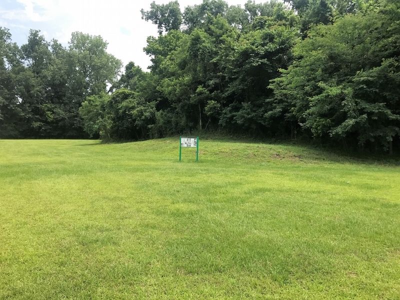
Abandoned Mound Marker
| Near Jeff Davis Boulevard north of South Temple Road, on the right when traveling north. |
| Near Jeff Davis Boulevard east of Temple Road, on the right. |
| Near Jeff Davis Boulevard east of South Temple Road. |
| On Jeff Davis Boulevard east of South Temple Road, on the right when traveling east. |
| Near Jeff Davis Boulevard near South Temple Road, on the right when traveling east. |
| Near Jeff Davis Boulevard north of South Temple Road, on the right when traveling north. |
| Near Jeff Davis Boulevard south of South Temple Road, on the right when traveling north. |
| Near S. Canal Street, 0.2 miles north of John R. Judkin Drive (U.S. 84), on the left when traveling north. |
| Near Jeff Davis Boulevard near South Temple Road, on the right when traveling north. |
| On Lissie Street, 0.2 miles north of Liberty Road, on the right when traveling north. |
| Near Jeff Davis Boulevard south of South Temple Road, on the right when traveling east. |
| Near Jeff Davis Boulevard near South Temple Road. |
| On South Canal Street near John R. Junkin Drive (U.S. 84/425), on the right when traveling south. |
| On Canal Street near Green Street, on the right when traveling south. |
| On N. Broadway Street, on the left when traveling north. |
| Near Jeff Davis Boulevard near South Temple Road, on the right. |
| Near Natchez Trace Parkway (at milepost 8.7), 0.5 miles U.S. 61, on the right when traveling north. Reported missing. |
| On Emerald Mound Road, 1 mile west of Natchez Trace Parkway, on the right when traveling west. |
| On Emerald Mound Road, 1 mile west of Natchez Trace. |
| Near Emerald Mound Road, 1 mile west of Natchez Trace Parkway, on the right when traveling west. |
| Near Emerald Mound Road, 1 mile Natchez Trace Parkway, on the right when traveling west. |
| On Emerald Mound Road, 1 mile west of Natchez Trace Parkway, on the right when traveling west. |
| On U.S. 61 near Natchez Trace Parkway, on the right when traveling north. |
| On Emerald Mound Road, 1 mile west of Natchez Trace, on the right when traveling west. |
| On Emerald Mound Road, 1 mile west of Natchez Trace, on the right when traveling west. |
| On Foster Mounds Road, 0.5 miles south of Steam Plant Road, on the right when traveling north. |
| On N. Polk Street (State Highway 145) at Woodlawn Drive, on the right when traveling north on N. Polk Street. |
| On State Highway 24/48, 0.5 miles east of Peoria Road, on the right when traveling west. |
| On West Washington Street (Business Mississippi Route 12) west of North Jackson Street, on the left when traveling west. |
| On Mississippi Route 1 north of Clark Place, on the right when traveling north. |
| On U.S. 82 at Lexington Street, on the right when traveling west on U.S. 82. |
| Near Natchez Trace Parkway (at milepost 232.4), 2.6 miles north of Mississippi Highway 8, on the right when traveling north. |
| On N. Jackson Street at E. Madison Street, on the right when traveling north on N. Jackson Street. |
| Near County Road 413, 2.5 miles west of Natchez Trace Parkway, on the right when traveling west. |
| Near County Road 413, 2.5 miles west of Natchez Trace Parkway, on the right when traveling west. |
| Near County Road 413, 2.5 miles west of Natchez Trace Parkway, on the right when traveling west. |
| Near County Road 413, 2.5 miles west of Natchez Trace Parkway, on the right when traveling west. |
| Near County Road 413, 2.5 miles west of Natchez Trace Parkway, on the right when traveling west. |
| On County Highway 413, 0.3 miles east of County Highway 124, on the left when traveling east. |
| On Park Lane Drive south of Adams Avenue, on the left when traveling north. |
| On East Monroe Avenue (Mississippi Route 41) east of South Carter Street, on the right when traveling west. |
| Near Natchez Trace Parkway (at milepost 193.1), 2.4 miles south of Mississippi Highway 9. |
| On Natchez Trace Parkway (at milepost 180.7), 0.1 miles south of Mississippi Highway 413, on the right when traveling north. |
| On Natchez Trace Parkway (at milepost 203.5), 0.6 miles south of U.S. 82, on the right when traveling north. |
| On Old Mill Road, 0.4 miles south of Bald Hill Road, on the right when traveling south. |
| Near Natchez Trace Parkway (at milepost 45.7), 4.2 miles north of Mississippi Highway 18. Reported missing. |
| On Rodney Road, 1.6 miles west of Montgomery Road, on the left when traveling west. |
| On Alternate U.S. 45, 0.4 miles south of Truman Creek Road, on the right when traveling north. |
| On Alternate U.S. 45, 0.4 miles south of Truman Creek Road, on the right when traveling south. |
| On Alternate U.S. 45, 0.5 miles south of Truman Creek Road, on the right when traveling north. |
| On Sunflower Avenue at 1st Street, on the right when traveling south on Sunflower Avenue. |
| On Coahoma-Rich Road, 0.9 miles south of U.S. 61, on the right when traveling south. |
| On State Highway 6, 0.5 miles east of Crum Road, on the right when traveling east. |
| On U.S. 51 south of West Commerce Street, on the right when traveling south. |
| On Norfolk Road, 0.1 miles east of Thomas Road, on the right when traveling west. |
| On Dubard Road (Mississippi Route 35) at Blanch Road, on the right when traveling south on Dubard Road. |
| On Porte Avenue at Beach Boulevard (U.S. 90), on the right when traveling north on Porte Avenue. |
| On Central Avenue, 0.1 miles south of Bay Shore Drive, on the right when traveling south. |
| On East College Street east of McLemore Drive, on the right when traveling east. |
| Near Natchez Trace Parkway (at milepost 93.1), 0.5 miles north of Medgar Evers Boulevard (U.S. 49), on the left when traveling north. |
| Near U.S. 49, 8.8 miles north of Interstate 220, in the median. |
| On U.S. 49, 8.8 miles north of Interstate 220, in the median. |
| On Graymont Street at East Fortification Street, on the right when traveling north on Graymont Street. |
| On U.S. 49 (U.S. 49) 0.8 miles south of Kennebrew Road, in the median. |
| Near U.S. 49, 0.7 miles south of Kennebrew Road, in the median. |
| Near U.S. 49, 0.8 miles south of Kennebrew Road, in the median. |
| Near U.S. 49, 0.8 miles south of Kennebrew Road, in the median. |
| Near Highway 49, 0.7 miles south of Kennebrew Road, in the median. |
| Near Natchez Trace Parkway (at milepost 73.5), 5.4 miles south of Mississippi Highway 467, on the right when traveling north. |
| On Natchez Trace Parkway (at milepost 61), 1.7 miles north of Fisher Ferry Road, on the left when traveling north. |
| On U.S. 51, 0.3 miles south of Aldy Road, on the left when traveling north. |
| On North Jackson Street (U.S. 51), on the right when traveling south. |
| On Court Square (Mississippi Route 12/17) south of Oak Street, on the left when traveling south. |
| On Martin Luther King Drive (U.S. 49E) at East Main Street, on the right when traveling north on Martin Luther King Drive. |
| On Mississippi Route 7, 0.5 miles south of Smith Road, on the right when traveling south. |
| On Mississippi Route 7 north of Fishco Road, on the left when traveling north. |
| On Grace Road, 0.3 miles west of State Highway 1, on the left when traveling south. |
| On Deer Creek Road, 1.6 miles east of U.S. 61, on the right when traveling east. |
| Near Interstate 22, on the right when traveling west. |
| On Barracuda Dr., 0.2 miles south of Graveline Rd, on the right when traveling south. |
| On Iberville Drive east of Ames Avenue, on the right when traveling west. |
| On Beach Boulevard, 0.1 miles east of Westwood Street, on the right when traveling east. |
| On State Highway 15, 0.1 miles north of Commerce Drive, on the left when traveling north. |
| On Medgar Evers Boulvard east of Main Street, on the right when traveling east. |
| On Mississippi Route 16W at Main Avenue, on the right when traveling east on State Route 16W. |
| On Old Taylor Road (County Road 303) south of County Route 3062, on the right when traveling south. |
| On Courthouse Square at East Jackson Avenue, on the right when traveling north on Courthouse Square. |
| On Hillview Drive (Old State Highway 39) at John C Stennis Drive, on the right when traveling north on Hillview Drive. |
| On KOA Campground Road, 1.5 miles west of Will Garrett Road, on the right when traveling west. |
| On Natchez Trace Parkway (at milepost 140) at Red Dog Road, on the left when traveling north on Natchez Trace Parkway. |
| Near Ripley Road (County Route 370) 0.5 miles north of Bethany Road (County Route 370), on the right when traveling west. |
| On County Road 503, 1.9 miles south of County Road 833, on the right when traveling south. |
| On Bethany Road (State Highway 370) 0.4 miles east of County Route 833, on the right when traveling east. |
| On Pierce Street at President Avenue, on the right when traveling east on Pierce Street. |
| Near Natchez Trace Parkway (at milepost 261.8), 0.5 miles south of McCullough Boulevard (Mississippi Highway 178), on the left when traveling north. |
| Near Natchez Trace Parkway (at milepost 263.9) north of U.S. 78. |
| On North Veterans Memorial Boulevard, 0.1 miles north of Reese Street, on the right when traveling north. |
| Near Natchez Trace Parkway (at milepost 263.9) north of U.S. 78. |
| Near Old West Point Road, 0.7 miles north of Plymouth Bluff Access Road, on the right when traveling north. |
| Near Old West Point Road, 1.3 miles north of Plymouth Bluff Access Road, on the right when traveling north. |
170 entries matched your criteria. The first 100 are listed above.
The final 70 ⊳