By Kevin Craft, July 4, 2017
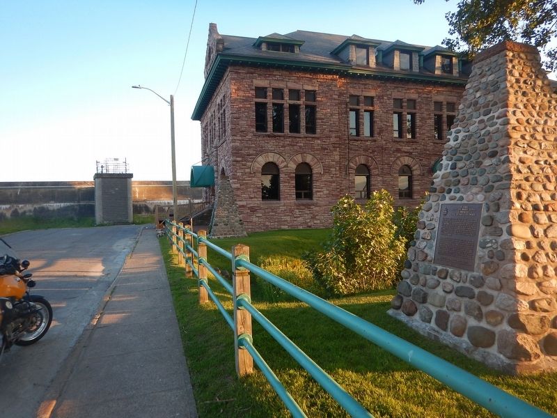
Wideview of The First Sault Ste. Marie Canal Marker
| On Huron Street, 0.1 kilometers south of Canal Drive, on the right when traveling south. |
| On Lakeside Drive just north of Stanley Street, on the right when traveling north. |
| Near Darling Street just west of George Street, on the right when traveling west. |
| On Oakland Road (County Route 4) at King Street South (County Route 24), on the right when traveling west on Oakland Road. |
| Near 4th Line close to Chiefswood Road, on the left when traveling west. |
| Near Fourth Line Road at Chiefswood Road, on the left when traveling east. |
| On Riverview Line just west of Bloomfield Road, on the left when traveling east. |
| Near William Street North at Murray Street, on the left when traveling north. |
| On River Line (County Route 39) just east of Communication Road (Ontario Highway 40), on the left when traveling east. |
| Near William Street North at Murray Street, on the left when traveling north. |
| On Riverview Line (County Route 36) 2 kilometers west of Bloomfield Road, on the left when traveling east. |
| On Riverview Line (County Route 36) 2 kilometers west of Bloomfield Road, on the left when traveling east. |
| On Riverview Line (County Route 36) close to County Route 36, on the left when traveling east. |
| Near William Street North at Murray Street, on the left when traveling north. |
| Near William Street North at Murray Street, on the left when traveling north. |
| Near William Street North at Murray Street, on the left when traveling north. |
| Near William Street North just west of Murray Street, on the left when traveling north. |
| On River Line (Route 39) just east of Communication Road (Ontario Highway 40), on the left when traveling east. |
| Near Longwoods Road (Provincial Highway 2) 4.2 kilometers east of Victoria Road (Provincial Highway 21), on the right when traveling east. |
| On Longwoods Road (County Route 2), on the right when traveling east. |
| On Longwoods Road (Provincial Highway 2) east of Victoria Road (Provincial Highway 21), on the right when traveling east. |
| On Longwoods Road south of County Highway 18, on the right when traveling east. |
| Near Longwoods Road (Provincial Highway 2) 4.2 kilometers east of Victoria Road (Provincial Highway 21), on the right when traveling east. |
| Near Longwoods Road (Provincial Highway 2) 4.2 kilometers east of Victoria Road (Provincial Highway 21), on the right when traveling east. |
| Near Longwoods Road (Provincial Highway 2) 4.2 kilometers east of Victoria Road (Provincial Highway 21), on the right when traveling east. |
| Near Longwoods Road (Provincial Highway 2) 4.2 kilometers east of Victoria Road (Provincial Highway 21), on the right when traveling east. |
| Near Longwoods Road (Provincial Highway 2) 4.2 kilometers east of Victoria Road (Provincial Highway 21), on the right when traveling east. |
| Near Longwoods Road (Provincial Highway 2) 4.2 kilometers east of Victoria Road (Provincial Highway 21), on the right when traveling east. |
| Near Longwoods Road (Provincial Highway 2) 4.2 kilometers east of Victoria Road (Provincial Highway 21), on the right when traveling east. |
| On Longwoods Road (Provincial Highway 2) 4.2 kilometers east of Victoria Road (Provincial Highway 21), on the right when traveling east. |
| Near Longwoods Road (Provincial Highway 2) 4.2 kilometers east of Victoria Road (Provincial Highway 21), on the right when traveling east. |
| On Longwoods Road (Provincial Highway 2) east of Victoria Road (Provincial Highway 21), on the right when traveling east. |
| Near Longwoods Road (Provincial Highway 2) 4.2 kilometers east of Victoria Road (Provincial Highway 21), on the right when traveling east. |
| Near Longwoods Road, 4.2 kilometers east of Victoria Road, on the right when traveling east. |
| Near Dalhousie Street west of Rankin Avenue. |
| Near Laird Avenue South just south of Elm Avenue, on the right when traveling south. |
| On Front Road South (County Route 20) close to Dalhousie Street, on the left when traveling south. |
| Near Laird Avenue South just south of Elm Avenue, on the right when traveling south. |
| On Laird Avenue South south of Elm Avenue, on the right when traveling south. |
| Near Laird Avenue South just south of Elm Avenue, on the right when traveling south. |
| Near Laird Avenue South just south of Elm Avenue, on the right when traveling south. |
| On Ramsay Street south of Gore Street, on the left when traveling south. |
| Near Laird Avenue South close to Elm Avenue, on the right when traveling south. |
| On Front Street North (Provincial Highway 20) north of North Side Road, on the right when traveling south. |
| On Laird Avenue South south of Elm Avenue, on the right when traveling south. |
| Near Dalhousie Street west of Rankin Avenue. |
| On 2072 Riverside Drive East west of Walker Road, on the left when traveling east. |
| On Sandwich Street at Ojibway Parkway, on the right when traveling south on Sandwich Street. |
| On Pitt Street West west of Ferry Street, on the right when traveling west. |
| On Valour Drive close to Point Frederick Drive, on the left when traveling east. |
| On Port Maitland Road, 0.1 kilometers south of Dover Street, on the left when traveling south. |
| On Haldimand Highway 54, 0.9 kilometers north of Indiana Road East, on the right when traveling south. |
| On Navy Street, 0.1 kilometers south of King Street, on the left when traveling south. |
| On Reynolds Street at Palmer Avenue, on the left when traveling north on Reynolds Street. |
| On York Boulevard north of Dundurn Street North, on the right when traveling north. |
| On York Boulevard just north of Dundurn Street North, on the right when traveling north. |
| Near York Boulevard north of Dundurn Street North. |
| Near York Boulevard north of Dundurn Street North. |
| Near York Boulevard north of Dundurn Street North. |
| On York Boulevard north of Dundurn Street North, on the right when traveling north. |
| On Wilson Street East, 0.1 kilometers east of Sulphur Springs Road, on the right when traveling west. |
| On Main Street East (Highway 8) 0.2 kilometers east of James South and Main East, on the right when traveling east. |
| On York Boulevard at Dundurn Street North, on the right when traveling east on York Boulevard. |
| Near Confederation Drive east of Van Wagners Beach Road. |
| On Van Wagner’s Beach Road, 0.8 kilometers south of Beach Boulevard, on the left when traveling south. |
| On Confederation Drive, 0.7 kilometers south of Van Wagner’s Beach Road, on the left when traveling south. |
| On Confederation Drive, 0.7 kilometers south of Van Wagner’s Beach Road, on the left when traveling south. |
| On John Street South at St. Joseph’s Drive, on the right when traveling north on John Street South. |
| Near Spring Gardens Road. |
| On Jackson Street West at Locke Street South, on the right when traveling west on Jackson Street West. |
| On Sunshine Court, 0.1 kilometers east of Garth Street. |
| Near King Street West east of Centennial Parkway South. |
| Near King Street West east of Centennial Parkway South. |
| Near King Street West south of Centennial Parkway South. |
| On King Street East west of Centennial Parkway South, on the left when traveling west. |
| On Kings Street West at Battlefield Drive, on the left when traveling east on Kings Street West. |
| Near King Street West east of Centennial Parkway South. |
| Near King Street West north of Centennial Parkway South. |
| On Passchendale Drive close to Point Frederick Drive. |
| Near Provincial Highway 2. |
| On Point Frederick Drive, on the right. |
| On Fort Henry Drive close to Kingston Highway (Provincial Highway 2), on the left when traveling south. |
| On Valour Drive at Point Frederick Drive, on the right when traveling east on Valour Drive. |
| On Point Frederick Drive, on the right when traveling south. |
| On Gore Street East (County Highway 43) at Herriot Street, on the left when traveling east on Gore Street East. |
| On Beckwith Street South (Provincial Highway 15) just south of Canal Street, on the right when traveling south. |
| On Apple Street close to Ernie Fox Quay. |
| On Court House Square close to Court House Avenue, on the left when traveling east. |
| On Court House Avenue (Provincial Highway 29) at George Street, on the left when traveling north on Court House Avenue. |
| On King Street East (Provincial Highway 2) 0.2 kilometers west of Stone Street, on the right when traveling west. |
| On Stone Street South close to Pine Street, on the right when traveling south. |
| On Water Street at Kate Street, on the left when traveling west on Water Street. |
| On King Street East close to Park Street, on the right when traveling north. |
| On King Street West (County Highway 2) at Main Street, on the left when traveling west on King Street West. |
| On Water Street just west of Market Street, on the left when traveling west. |
| On Water Street just west of Market Street, on the left when traveling west. |
| On Water Street just west of Market Street, on the left when traveling west. |
254 entries matched your criteria. The first 100 are listed above.
Next 100 ⊳