By Rev. Ronald Irick, 7 20 2022
Chimney Coulee Marker
GEOGRAPHIC SORT Title Sort Marker Number Sort Marker Number Sort N Marker Number Sort T Publication Order Sort Publication Order Sort A Erected Year Sort Most Viewed Sort Most Recent-Interest Sort Most Recently Changed Sort SEE FAQ #33 FOR DESCRIPTIONS
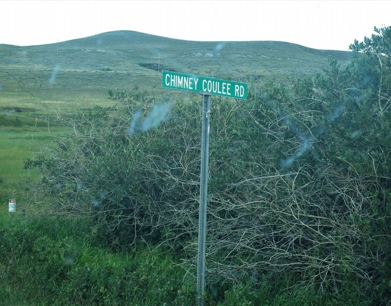
Near Chimney Coulee Road.
On Washington Avenue just east of First Street, on the right when traveling east.
On Old Saskatchewan Highway 4 (Provincial Highway 658) 1.1 kilometers west of Provincial Highway 4, on the left when traveling west.
Near Central Avenue just north of Campbell Innes Way, on the right when traveling north.
Near 3 Avenue West, 0.5 kilometers south of Old Saskatchewan Highway 4 (Provincial Highway 658), on the left when traveling south.
On 3 Avenue West, 0.4 kilometers south of Old Saskatchewan Highway 4 (Provincial Highway 658), on the left when traveling south.
On 3 Avenue West, 0.4 kilometers south of Old Saskatchewan Highway 4 (Provincial Highway 658), on the right when traveling south.
Near 3 Avenue West, 0.5 kilometers south of Old Saskatchewan Highway 4 (Provincial Highway 658), on the left when traveling south.
On Old Saskatchewan Highway 4 (Provincial Highway 658) 1.1 kilometers west of Provincial Highway 4, on the left when traveling west.
On 2 Avenue West just south of 25 Street, on the right when traveling south.
Near 3 Avenue West, 0.5 kilometers south of Old Saskatchewan Highway 4 (Provincial Highway 658), on the left when traveling south.
On 3 Avenue West, 0.4 kilometers south of Old Saskatchewan Highway 4 (Provincial Highway 658), on the right when traveling south.
Near 3 Avenue West, 0.5 kilometers south of Old Saskatchewan Highway 4 (Provincial Highway 658), on the left when traveling south.
Paid Advertisement
Near 3 Avenue West, 0.5 kilometers south of Old Saskatchewan Highway 4 (Provincial Highway 658), on the left when traveling south.
On Ontario Street just north of 1 Avenue East, on the right when traveling north.
On King Street just south of 8 Avenue East, on the right when traveling north.
On 6 Avenue East just west of Dominion Street, on the right when traveling west.
On King Street just south of 8 Avenue East, on the right when traveling north.
On CanAm Highway (Provincial Highway 6) 9 kilometers north of Provincial Highway 39, on the left when traveling north.
On Main Street just north of Railway Avenue, on the left when traveling north.
On Norway Road (Provincial Highway 9) north of Provincial Highway 5, on the right when traveling north.
On 4th Street at 2nd Avenue, on the right when traveling north on 4th Street.
On Idylwyld Drive North (Highway 1) just south of 25 Street West, on the right when traveling south.
On 11th Street East east of Broadway Avenue, on the right when traveling east.
Near 20th Street West at Avenue D South, on the right when traveling west.
On 21st Street East just east of 3rd Avenue South, on the right when traveling east.
On Wanuskewin Heritage Park Access Road, 0.8 kilometers south of Penner Road (Township Road 380).
Near Administration Place north of Campus Drive.
Near Administration Place north of Campus Drive.
Paid Advertisement
On Third Street at 1st Avenue, on the right when traveling east on Third Street.
On Appleton Avenue just north of Young Street, on the right when traveling north.
Near Anderson Street (Provincial Highway 783/212) 0.5 kilometers west of Louis Riel Trail (Provincial Highway 11), on the right when traveling west.
On Louis Riel Trail (Provincial Highway 11) at East Street (Route 739), on the right when traveling east on Louis Riel Trail.
On 2nd Avenue just south of 3rd Street, on the right when traveling south.
On 6th Avenue at Front Street, on the right when traveling north on 6th Avenue.
On Railway Avenue just west of Main Street, on the left when traveling west.
On 4 Street (Provincial Highway 18/47) at Souris Avenue (Provincial Highway 18/47), on the right when traveling east on 4 Street.
On 4 Street (Provincial Highway 18/47) just east of 11 Avenue, on the right when traveling east.
On Proton Avenue (Provincial Highway 37) just south of Main Street (Provincial Highway 37), on the left when traveling south.
On Main Street (Saskatchewan Route 20) at 6th Avenue, on the right when traveling north on Main Street.
On 3rd Avenue just east of 5th Street, on the right when traveling east.
On Main Street (Saskatchewan Route 20) at 6th Avenue, on the right when traveling north on Main Street.
On Main Street (Saskatchewan Route 20) at 6th Avenue, on the right when traveling north on Main Street.
On North Railway Avenue at Main Street, on the left when traveling west on North Railway Avenue.
On Provincial Highway 56, 3 kilometers north of Trans-Canada Highway (National Highway 1), on the left when traveling north.
Paid Advertisement
On Center Street (National Highway 2) at Empire Road and Dominion Road (National Highway 2), in the median on Center Street.
On Broadway Street at Saskatchewan Avenue, on the right when traveling west on Broadway Street.
On James Street (Provincial Highway 641) just north of Fifth Avenue, on the left when traveling north.
On Jasper Street just south of 1st Avenue, on the right when traveling south.
On Maple Street just north of 1 Avenue, on the right when traveling north.
Near Front Avenue just north of 4th Street, on the left when traveling north.
On Provincial Highway 4, 8.6 kilometers north of Provincial Highway 26, on the left when traveling north.
On 2 Avenue just north of 2 Street East, on the right when traveling north.
On Wright Street at Railway Avenue, on the left when traveling west on Wright Street.
On Fairford Street West just west of 1st Avenue NW, on the right when traveling west.
On Main Street North (Saskatchewan Route 2) at Fairford Street West, on the right when traveling south on Main Street North.
On Fairford Street West just west of 1st Avenue NW, on the right when traveling west.
On Manitoba Street West (Saskatchewan Route 363) at Main Street North (Saskatchewan Route 2), on the right when traveling east on Manitoba Street West.
Near Langdon Crescent at Cordova Street when traveling east.
Near Langdon Crescent at Athabasca Street East, on the right when traveling north.
On Broadway Avenue just west of Carlton Street, on the right when traveling east.
Paid Advertisement
On McKenzie Street just south of Prairie Avenue, on the right when traveling south.
On 100 Street (Saskatchewan Route 4) just north of 13 Avenue, on the right when traveling south.
On Railway Avenue East at Saskatchewan Route 4, on the right when traveling south on Railway Avenue East.
On Railway Avenue (Provincial Highway 3/4) just north of Main Street, on the right when traveling north.
Near 1 Street East, 0.2 kilometers north of Railway Avenue (Provincial Highway 674), on the right when traveling north.
On North Front Street at Brunswick Street, on the right when traveling east on North Front Street.
On Trans-Canada Highway (Provincial Highway 1) 4.6 kilometers east of Provincial Road 614, on the right when traveling east.
On Trans-Canada Highway (Provincial Highway 1) 4.6 kilometers east of Provincial Road 614, on the right when traveling east.
On Trans-Canada Highway (Provincial Highway 1) 4.6 kilometers east of Provincial Road 614, on the right when traveling east.
On Central Avenue just north of 11th Street East, on the right when traveling north.
On River Street at Central Avenue, on the right when traveling west on River Street.
On Central Avenue north of 11th Street East, on the right when traveling north.
Near Central Avenue just north of 11 Street East, on the right when traveling north.
On 19 Street West just east of 3 Avenue West, on the right when traveling west.
On Lincoln Street at Railway Street, on the left when traveling south on Lincoln Street.
On 7 Street at Maple Avenue, on the left when traveling west on 7 Street.
Paid Advertisement
On Main Street at 2 Street, on the right when traveling north on Main Street.
On 6 Street at 2 Avenue, on the right when traveling east on 6 Street.
On 2 Avenue at 6 Street, on the left when traveling north on 2 Avenue.
On Provincial Highway 312 at Provincial Highway 683, on the right when traveling west on Provincial Highway 312.
On Main Street (Provincial Highway 718) at Short Road, on the right when traveling north on Main Street.
On Main Street (Provincial Highway 718) at Short Road, on the right when traveling north on Main Street.
On Snowbird Highway (National Highway 2) at Miles Selby Rd, on the left when traveling west on Snowbird Highway.
On Snow Bird Highway (National Highway 2) at un-named, un-numbered, on the right when traveling south on Snow Bird Highway.
On Louis Riel Trail (Provincial Highway 11) at Norfolk Avenue, on the right when traveling north on Louis Riel Trail.
Near Provincial Highway 4, 7 kilometers north of Provincial Highway 738, on the left when traveling north.
On Main Street just north of 1 Avenue, on the right when traveling north.
On CanAm Highway (Provincial Highway 39) just south of Souris Street, on the right when traveling south.
On Robinson Street at 8th Avenue, on the right when traveling north on Robinson Street.
On 13th Avenue at Elphinstone Street, on the right when traveling east on 13th Avenue.
Near Hewitt Place just south of Dewdney Avenue, on the left when traveling south.
Paid Advertisement
On Memorial Way just south of Legislative Drive, on the right when traveling south.
On Victoria Avenue just east of Lorne Street, on the right when traveling east.
Near Walter Scott Way when traveling north.
On Smith Street at 12th Avenue, on the left when traveling south on Smith Street.
Near Walter Scott Way just north of Legislative Drive when traveling north.
127 entries matched your criteria. The first 100 are listed above.
The final 27 ⊳