By Kevin Craft, July 4, 2017
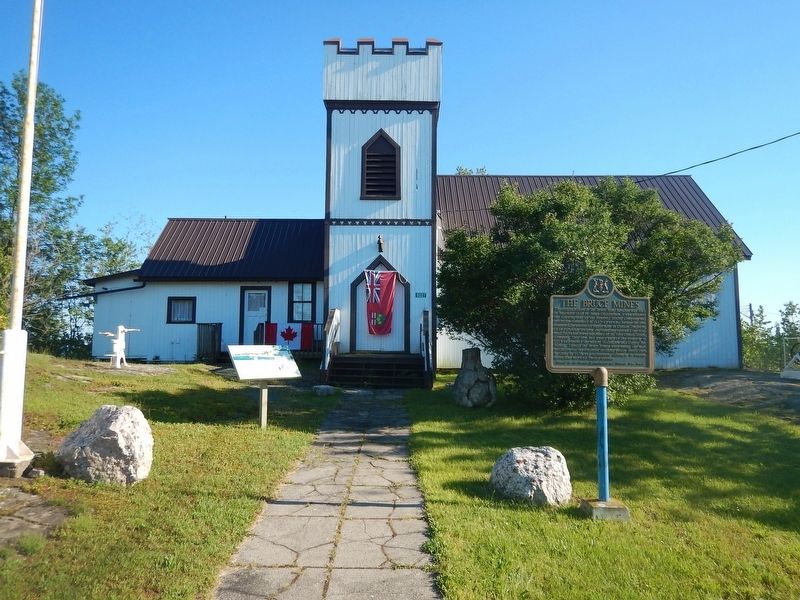
Wideview of The Bruce Mines Marker
| On Trans-Canada Highway (Provincial Highway 17) at Taylor Street, on the right when traveling east on Trans-Canada Highway. |
| On Hub Trail at Canal Drive, on the right when traveling north on Hub Trail. |
| Near Bay Street at East Street. |
| Near Mission Road (Provincial Highway 101) just east of Trans-Canada Highway (Provincial Highway 17), on the left when traveling north. |
| Near Mission Road (Provincial Highway 101) just east of Trans-Canada Highway (Provincial Highway 17), on the left when traveling north. |
| On Broadway Avenue just north of Mackey Street, on the left when traveling north. |
| Near Mission Road (Provincial Highway 101) just east of Trans-Canada Highway (Provincial Highway 17), on the left when traveling north. |
| On Broadway Avenue just north of Mackey Street, on the left when traveling north. |
| Near Mission Road (Provincial Highway 101) just east of Trans-Canada Highway (Provincial Highway 17), on the left when traveling north. |
| On Mission Road (National Highway 101) 0.5 kilometers north of Trans-Canada Highway (National Highway 17), on the right when traveling south. |
| On Broadway Avenue just north of Mackey Street, on the left when traveling north. |
| Near Mission Road (Provincial Highway 101) just east of Trans-Canada Highway (Provincial Highway 17), on the left when traveling north. |
| Near Mission Road (Provincial Highway 101) just east of Trans-Canada Highway (Provincial Highway 17), on the left when traveling north. |
| Near Mission Road (Provincial Highway 101) just east of Trans-Canada Highway (Provincial Highway 17), on the left when traveling north. |
| Near Mission Road (Provincial Highway 101) just east of Trans-Canada Highway (Provincial Highway 17), on the left when traveling north. |
| On Broadway Avenue just north of Mackey Street, on the left when traveling north. |
| Near Mission Road (Provincial Highway 101) just east of Trans-Canada Highway (Provincial Highway 17), on the left when traveling north. |
| On Broadway Avenue just south of Algoma Street, on the right when traveling north. |
| On Broadway Avenue just north of Mackey Street, on the left when traveling north. |
| Near Mission Road (Provincial Highway 101) just east of Trans-Canada Highway (Provincial Highway 17), on the left when traveling north. |
| Near Mission Road (Provincial Highway 101) just east of Trans-Canada Highway (Provincial Highway 17), on the left when traveling north. |
| Near Trans-Canada Highway (National Highway 17) 1.4 kilometers south of High Falls Road, on the right when traveling south. |
| On Broadway Avenue just north of Mackey Street, on the left when traveling north. |
| Near Mission Road (Provincial Highway 101) just east of Trans-Canada Highway (Provincial Highway 17), on the left when traveling north. |
| On Broadway Avenue just south of Algoma Street, on the right when traveling north. |
| Near Scenic High Falls Road (Pinewood Drive), 3.6 kilometers west of Trans-Canada Highway (Provincial Highway 17). |
| Near Mission Road (Provincial Highway 101) just east of Trans-Canada Highway (Provincial Highway 17), on the left when traveling north. |
| On Government Dock Road, 1 kilometer west of Michipicoten Harbour Road. |
| On Government Dock Road, 1 kilometer west of Michipicoten Harbour Road. |
| On Michipicoten Harbour Road, 0.8 kilometers west of Queen Street, on the left when traveling west. |
| On Michipicoten Harbour Road, 1.5 kilometers west of Queen Street, on the left when traveling west. |
| Near Superior Avenue, 0.6 kilometers west of Michipicoten River Village Road. |
| On Michipicoten Harbour Road, 0.8 kilometers west of Queen Street, on the left when traveling west. |
| On Homestead Road at Hiram Road, on the right when traveling east on Homestead Road. |
| On Tutela Heights Road, 0.8 kilometers east of Mount Pleasant Road, on the left when traveling east. |
| On Dalhousie Street just west of George Street, on the right when traveling west. |
| On Tutela Heights Road, 0.8 kilometers east of Mount Pleasant Road, on the left when traveling east. |
| On Wellington Street just east of George Street, on the left when traveling east. |
| Near Myrtleville Drive, 0.3 kilometers west of Balmoral Drive, on the right when traveling west. |
| On Goldie Street (Provincial Highway 11) at Queen Street South, on the right when traveling west on Goldie Street. |
| Near Uncle Tom's Road (County Route 40) close to Park Street, on the right when traveling west. |
| On Railway Street, 0.1 kilometers east of 7th Avenue South, on the right when traveling east. |
| On Frederick House Lake Road, 1.6 kilometers east of Connaught Road, on the right when traveling east. |
| On Anson Drive at Devonshire Avenue, on the right when traveling west on Anson Drive. |
| On Cambridge Avenue at Synagogue Avenue, on the left when traveling north on Cambridge Avenue. |
| On Park Street just west of Cambridge Avenue, on the left when traveling west. |
| On Anson Drive just west of Cambridge Avenue, on the right when traveling west. |
| Near Railway Street just west of 4th Avenue (Provincial Highway 101), on the left when traveling west. |
| Near Railway Street just west of 4th Avenue (Provincial Highway 101), on the left when traveling west. |
| On King Street (Provincial Highway 101) at Bellemare Street, on the right when traveling west on King Street. |
| On Main Street at Bloor Avenue, on the left when traveling south on Main Street. |
| On Algonquin Boulevard East (Provincial Highway 101) just east of Brunette Road, on the right when traveling east. |
| Near 2nd Avenue at Brunette Road, on the right when traveling south. |
| On University Street, 0.1 kilometers south of Jubilee Avenue West, in the median. |
| On Airport Road, 5.8 kilometers north of Laforest Road, on the right. |
| On McIntyre Road just north of Schumacher Drive (Provincial Highway 101), on the left when traveling north. |
| On Old Kingston Road just west of Church Street North, on the left when traveling west. |
| On King Street East at Division Street, on the left when traveling west on King Street East. |
| On Temperance Street at King Street West, on the right when traveling north on Temperance Street. |
| On Old Kingston Road, 0.2 kilometers east of Durham Highway 2, on the right when traveling east. |
| On Durham Regional Highway 2, 0.2 kilometers east of Cobbledick Road, on the right when traveling west. |
| On King Avenue East at Beaver Street South on King Avenue East. |
| On Concession Road 7, 0.5 kilometers west of Liberty Street North, on the right when traveling west. |
| On Durham Regional Road 13 at Concession Road 7 (County Road 1), on the right when traveling west on Durham Regional Road 13. |
| Near Simcoe Street North (Durham Regional Road 2) just south of Parkwood Court, on the right when traveling south. |
| Near Simcoe Street North (Durham Regional Road 2) just south of Parkwood Court, on the right when traveling south. |
| On Celina Street south of King Street East, on the right when traveling south. |
| On Simcoe Street South, 0.2 kilometers Lakeview Park Avenue, on the right when traveling south. |
| On Richmond Street West just west of Simcoe Street North (Provincial Highway 2), on the right when traveling west. |
| On Bond Street West just west of Prince Street, on the left when traveling west. |
| On Bond Street West, 0.08 kilometers west of Simcoe Street North (Provincial Highway 2), on the left when traveling west. |
| On King Street East at Ontario Street, on the left when traveling east on King Street East. |
| Near Dalhousie Street west of Rankin Avenue. |
| On Riverside Drive East west of Walker Road, on the left when traveling east. |
| Near Riverside Drive West north of Ferry Street. |
| Near King Street East at West Street, on the right when traveling west. |
| On Munsee Street North, 0.1 kilometers Echo Street West, on the right when traveling south. |
| On Front Street South (Haldimand Highway 54) at Mill Street, on the right when traveling south on Front Street South (Haldimand Highway 54). |
| On Plains Road East at Waterdown Road, on the right when traveling west on Plains Road East. |
| On Lakeshore Road East at George Street, on the right when traveling east on Lakeshore Road East. |
| On Trafalgar Road at Sumner Avenue, on the right when traveling north on Trafalgar Road. |
| On Navy Street, 0.1 kilometers south of King Street, on the left when traveling south. |
| On Navy Street at William Street, on the right when traveling south on Navy Street. |
| On Navy Street at William Street, on the right when traveling south on Navy Street. |
| On Cornwall Road, 0.2 kilometers west of Trafalgar Road, on the right when traveling east. |
| On Lakeshore Road East near George Street, on the right when traveling east. |
| On Lakeshore Road East near George Street, on the right when traveling east. |
| On Walker Street, 0.1 kilometers east of Chisholm Street, on the left when traveling west. |
| On Cornwall Road, 0.2 kilometers west of Trafalgar Road, on the right when traveling east. |
| On Navy Street at William Street, on the right when traveling south on Navy Street. |
| On Navy Street at William Street, on the right when traveling south on Navy Street. |
| On Cornwall Road, 0.2 kilometers west of Trafalgar Road, on the right when traveling east. |
| On Trafalgar Road at Sumner Avenue, on the right when traveling north on Trafalgar Road. |
| On Walker Street, 0.1 kilometers east of Chisholm Street, on the left when traveling west. |
| On Lakeshore Road East at George Street, on the right on Lakeshore Road East. |
| On Navy Street at William Street, on the right when traveling south on Navy Street. |
| On Walker Street, 0.1 kilometers east of Chisholm Street, on the right when traveling east. |
| Near York Boulevard just north of Dundurn Street North, on the right when traveling north. |
| On Stuart Street, 0.1 kilometers east of Bay Street North, on the right when traveling east. |
| Near Mountain Brow Boulevard. |
449 entries matched your criteria. The first 100 are listed above.
Next 100 ⊳